Tech From Here: Hawaiʻi
Collection
Every picture and download published with the 14 stories, grouped by story: 201 items in all (14 stories, 50 frames, 128 photographs and documents, 9 downloads). A picture opens in its story, where its credit and license are shown.
Nothing matches. Clear the search or choose Everything.
Story 1 of 14
The Hawaiian Technology Inside the Sound of Modern Music
9 photographs and documents
Photographs and documents (9)
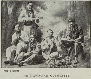 The Hawaiian Quintette as reproduced in a 1914 Victor Records catalog.Victor Records catalog, 1914, via the Internet Archive · Public domain
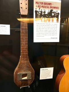 The steel guitar Bob Dunn used on the first amplified instrument recording in country music, January 1935.e Kat · CC0
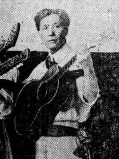 Joseph Kekuku, credited with developing the Hawaiian steel-guitar technique.The Colville Examiner, July 22, 1916, page 6 · Public domain
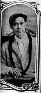 Joseph Kekuku profiled in the Los Angeles Times, 1912.The Los Angeles Times, May 27, 1912 · Public domain
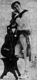 Joseph Kekuku profiled again in the Los Angeles Times, 1918.The Los Angeles Times, March 18, 1918 · Public domain
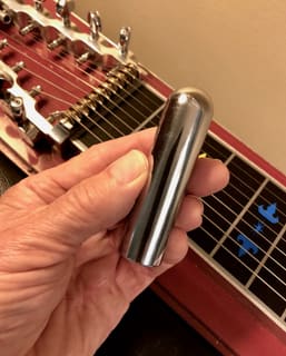 The steel tonebar used to play Hawaiian steel guitar.Eagledj · CC BY-SA 4.0
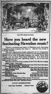 A 1916 Victor Talking Machine advertisement naming several touring Hawaiian musical groups.The Evening Herald, June 9, 1916 · Public domain
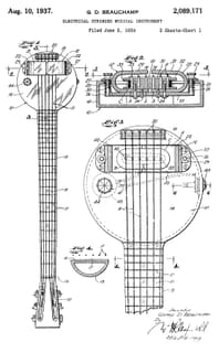 Figure from U.S. Patent 2,089,171, “Electrical Stringed Musical Instrument,” George D. Beauchamp (filed June 2, 1934; granted August 10, 1937).George D. Beauchamp, U.S. Patent 2,089,171 (cropped, dust removed) · Public domain
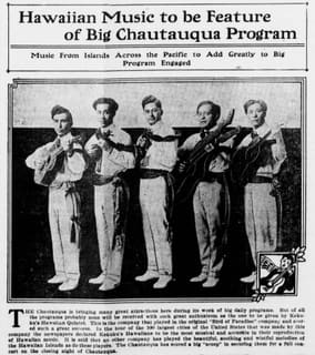 Kekuku's Hawaiian Quintet in a 1916 publicity photograph.The Colville Examiner, July 22, 1916, page 6 · Public domain
Story 2 of 14
A Rule Tested Between Hawaiian Islands Changed How Shared Networks Speak
14 frames · 10 photographs and documents · 3 downloads
ZIP of 14 JPG files (2.9 MB) LinkedIn PDF (2.9 MB) Pinterest pin (0.3 MB)
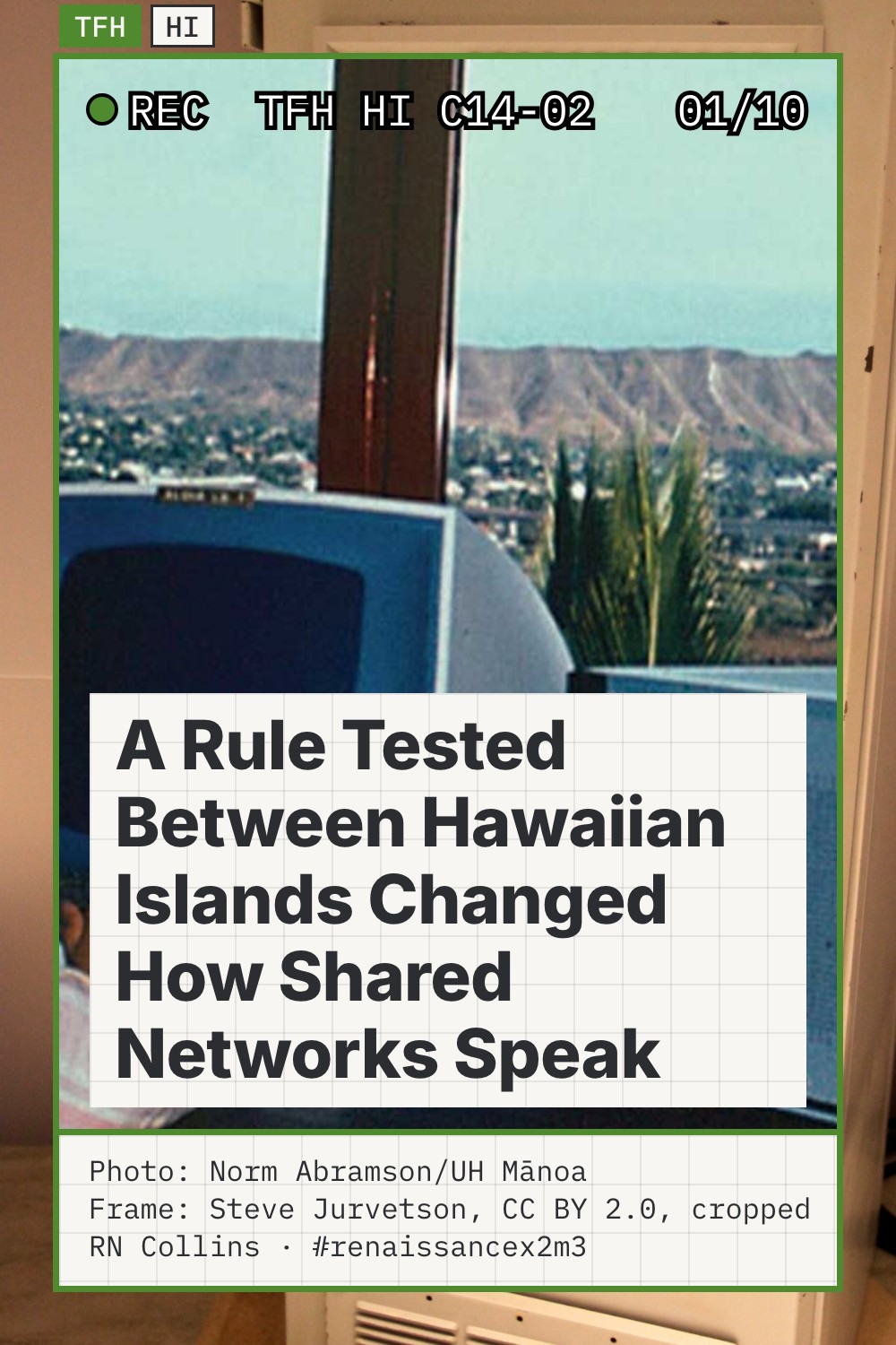
Frames (14)
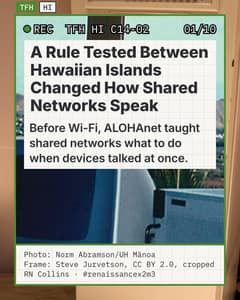 Frame 1 of 14Photo: Norm Abramson/UH Mānoa
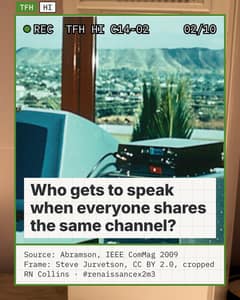 Frame 2 of 14Source: Abramson, IEEE ComMag 2009
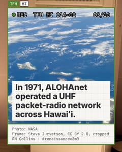 Frame 3 of 14Photo: NASA
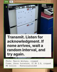 Frame 4 of 14Photo: Marcin Wichary, cropped
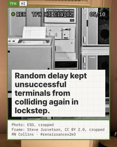 Frame 5 of 14Photo: ESO, cropped
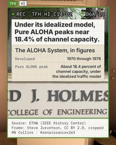 Frame 6 of 14Source: ETHW (IEEE History Center)
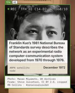 Frame 7 of 14Photo: Masao Miyamoto, UH Archives
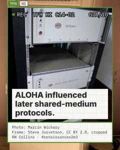 Frame 8 of 14Photo: Marcin Wichary
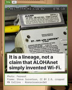 Frame 9 of 14Photo: Fernost
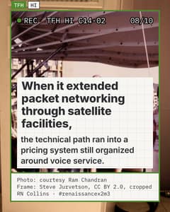 Frame 10 of 14Photo: courtesy Ram Chandran
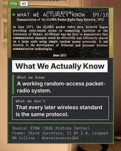 Frame 11 of 14Source: ETHW (IEEE History Center)
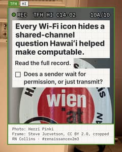 Frame 12 of 14Photo: Herzi Pinki
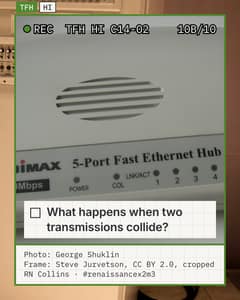 Frame 13 of 14Photo: George Shuklin
 Frame 14 of 14Photo: heimnetzwerke.net
Photographs and documents (10)
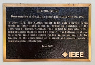 IEEE Milestone plaque at Holmes Hall, University of Hawaiʻi at Mānoa, commemorating ALOHAnet.Ron Hashiro · Public domain
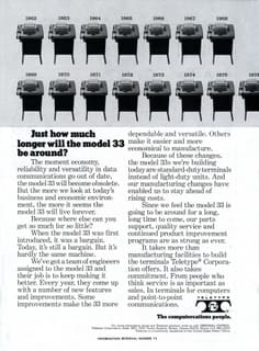 A Teletype Model 33 terminal, June 1974.Teletype Corporation, Electronic Design, June 7, 1974, page 159 (scan by Michael Holley) · Public domain
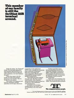 A Teletype Model 33 terminal, April 1974.Teletype Corporation, Electronics, April 18, 1974, page 147 (scan by Michael Holley) · Public domain
 Norman Abramson, 2007.Norman Abramson · Public domain
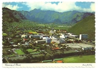 A vintage-style view of the University of Hawaiʻi Mānoa campus.Manoa · CC BY-SA 3.0
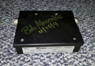 An early Ethernet connector, signed by Bob Metcalfe.Daderot · CC0
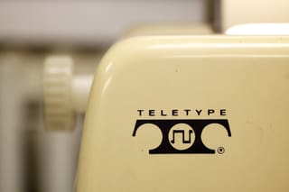 An ASR-33 teletype terminal on display.Marcin Wichary · CC BY 2.0
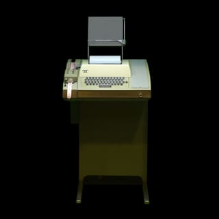 An ASR-33 teletype terminal, Musée Bolo.Rama and Musée Bolo · CC BY-SA 2.0 fr
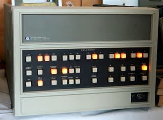 An HP 2100A minicomputer, 1973.Wolfgang Stief · CC0
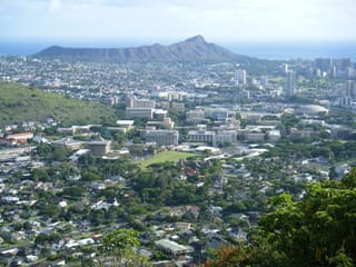 A view of the University of Hawaiʻi Mānoa campus.Travis.Thurston · CC BY-SA 3.0
Story 3 of 14
After Hilo Had No Warning, Hawaiʻi Helped Build a Pacific One
9 photographs and documents
Photographs and documents (9)
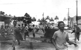 A 1946 tsunami wave approaches Hilo, Hawaiʻi. Photograph courtesy of the Pacific Tsunami Museum.Pacific Tsunami Museum, Hilo, Hawaiʻi · Public domain
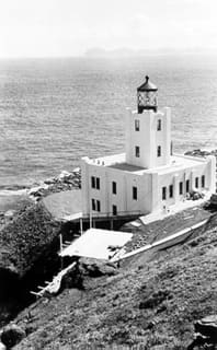 Scotch Cap Light on Unimak Island, Alaska, near the earthquake's Aleutian source.United States Coast Guard · Public domain
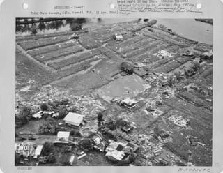 Aerial photo of Hilo, dated April 1, 1946.U.S. National Archives and Records Administration · Public domain
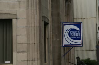 Sign for the Pacific Tsunami Museum, Kamehameha Avenue, Hilo.Hermann Luyken · CC0
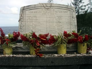 Memorial at Laupāhoehoe Point to people killed by the 1946 tsunami.Brocken Inaglory · CC BY-SA 3.0
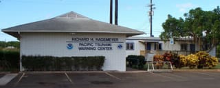 The Pacific Tsunami Warning Center building.Pacific Tsunami Warning Center · Public domain
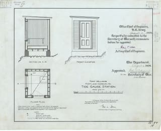 A U.S. government tide-gauge station at Fort Williams, Portland Harbor, Maine, 1909 (illustrative).War Department, Office of the Chief of Engineers; U.S. National Archives and Records Administration, via the Digital Public Library of America · Public domain
 The historic Marconi wireless telegraph station at Kahuku, Oʻahu.Andrew Corbin · CC BY-SA 4.0
 A present-day view of Hilo Bay, Hawaiʻi.Ken Lund · CC BY-SA 2.0
Story 4 of 14
When Two Versions of the Law Disagree
9 photographs and documents
Photographs and documents (9)
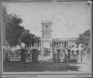 Aliʻiōlani Hale, seat of the Hawaiian Kingdom government, circa 1876-1883.A. A. Montano, Hawaii State Archives, call number PP-9-3-012 · Public domain
 Laws of the Hawaiian Kingdom, 1853 session.Internet Archive scan · Public domain
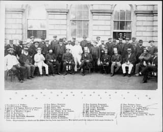 The Legislature of the Kingdom of Hawaii in session, 1886.Hawaii State Archives, call number PP-27-8-002 · Public domain
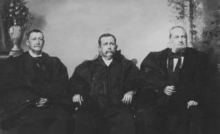 Justices of the Hawaiian Kingdom Supreme Court, 1886-1900.Hawaii State Archives, call number PP-27-8-003 · Public domain
 Laws of the Hawaiian Kingdom, 1855 session.Internet Archive scan · Public domain
 Roster of the Legislatures of Hawaii, 1841-1918.Internet Archive scan · Public domain
 The Civil Code of the Hawaiian Islands, 1859.Internet Archive scan, digitized by Google · Public domain
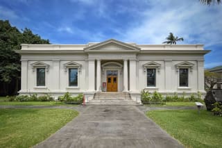 The Kanaina Building, former Hawaiʻi State Archives.Steven Pavlov · CC BY-SA 4.0
 Reports of decisions of the Supreme Court of the Hawaiian Islands.Internet Archive scan, from Harvard University, digitized by Google · Public domain
Story 5 of 14
Hawaiʻi Built a Searchable World Before Search Engines
9 photographs and documents
Photographs and documents (9)
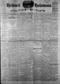 Front page of Hawaiʻi Holomua, May 2, 1891.Hawaii Holomua, May 2, 1891, Hawaiian Newspaper Collection · Public domain
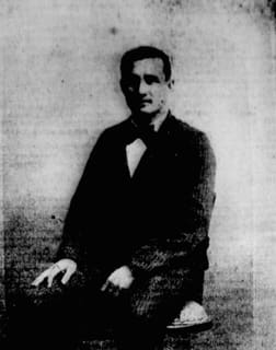 David Kanewanui in The Hawaiian Gazette, May 23, 1902.The Hawaiian Gazette · Public domain
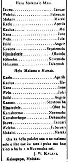 A column in Ka Nupepa Kuokoa, 1890, by J.W. Kalani.NOIRLab/N. Kuokoa (Ka Nupepa Kuokoa, 1890) · CC BY 4.0
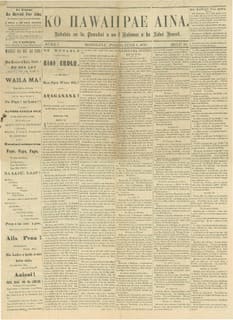 A scanned issue of the Hawaiian-language newspaper Ko Hawaii Pae Aina, June 1, 1878.Ko Hawaii Pae Aina, 1878 · CC BY-SA 4.0
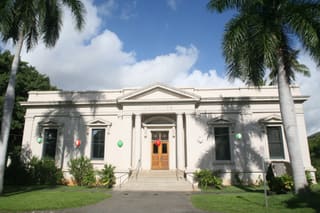 The Hawaiʻi State Archives building.Cliff · CC BY 2.0
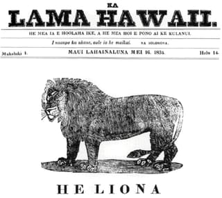 Ka Lama Hawaiʻi, Hawaiʻi’s first newspaper (first issue February 14, 1834). Front page of the May 16, 1834 issue, Lahainaluna.Students at Lahainaluna Seminary, 1834, reproduced in Hawaii Historical Society, volume 18 · Public domain
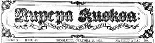 Masthead of Ka Nupepa Kuokoa, 1872.Unknown author · Public domain
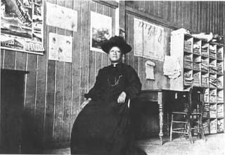 Emma Nāwahī in her newspaper office at Ke Aloha ʻĀina.Ka puke moʻolelo o Hon. Iosepa K. Nāwahī, page 375 · Public domain
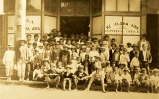 Newsboys distributing Ke Aloha ʻĀina, 1906.Ke Aloha Aina · Public domain
Story 6 of 14
The Two Marks Your Computer Had to Learn
8 photographs and documents
Photographs and documents (8)
 The Hawaiian phrase "ʻŌlelo Hawaiʻi" rendered with both the ʻokina and kahakō.Karl432 · CC0
 The ʻokina rendered as a standalone letterform.Kwamikagami · CC BY-SA 4.0
 The ʻokina glyph shown as Unicode character U+02BB.Original: Unknown Vector: Stannered · Public domain
 The ʻokina in plain text, shown in the word "ʻOumuamua".Karl432 · CC0
 A comparison of punctuation marks used to discuss the Hawaiian ʻokina in digital text.Verdy p · CC BY-SA 3.0
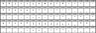 The Unicode Spacing Modifier Letters block, which includes U+02BB.Å ñtóñSûsî (Ð) · CC BY 3.0 de
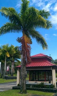 The University of Hawaiʻi at Hilo campus.Vreed · CC BY-SA 3.0
 Masthead of Ka Nupepa Kuokoa, May 13, 1893.Ka Nupepa Kuokoa · Public domain
Story 7 of 14
The Machine Inside the Mountain
10 photographs and documents
Photographs and documents (10)
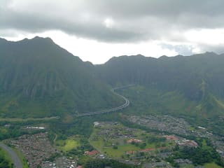 The Koʻolau Range, Oʻahu.ErgoSum88 · Public domain
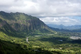 Windward cliffs of the Koʻolau Range, Oʻahu.Lukas from Tokyo, Japan · CC BY 2.0
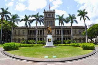 Aliʻiōlani Hale, seat of the Hawaiʻi Supreme Court.Don Ramey Logan · CC BY-SA 3.0
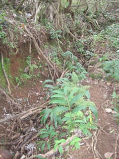 A traditional Hawaiian irrigation channel (ʻauwai) in a windward Oʻahu taro complex.Joel Bradshaw · Public domain
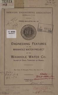 Engineering report on the Waiāhole Water Project, by Charles H. Kluegel.Charles H. Kluegel, Internet Archive scan · Public domain
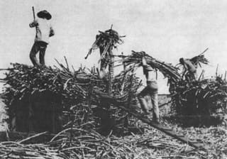 Chinese contract laborers on a Hawaiʻi sugar plantation, 19th century.Hawaii State Archives, via the Hawaiian Journal of History, volume 23 (1989) · Public domain
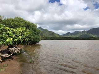 View from Waiāhole Beach Park, at the mouth of the valley.Famartin · CC BY-SA 4.0
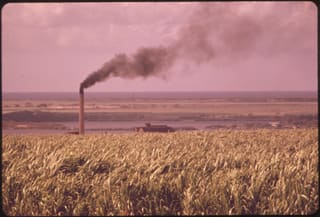 The Oʻahu Sugar Company mill at Waipahu, 1973.Charles O'Rear, U.S. National Archives and Records Administration · Public domain
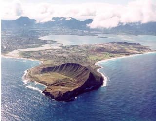 Aerial view of Mokapu Peninsula and Kāneʻohe Bay.U.S. Marine Corps · Public domain
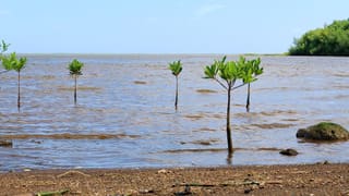 Waiāhole Beach on Kāneʻohe Bay.Robert Linsdell · CC BY 2.0
Story 8 of 14
The Gate That Thinks With the Tide
9 photographs and documents
Photographs and documents (9)
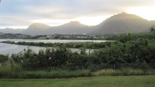 Heʻeia Fishpond with the Koʻolau mountains behind it.Joel Bradshaw · Public domain
 The stone kuapā wall of Heʻeia Fishpond.Kanu Hawaii · CC BY 2.0
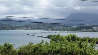 Heʻeia Fishpond viewed from Heʻeia State Park.Jtciszewski · CC BY-SA 3.0
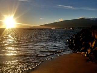 Kalepolepo Fishpond, Maui, showing its sluice gate (mākāhā).Rodrigues808 · CC BY-SA 4.0
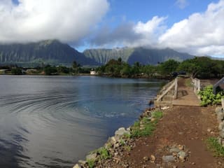 Waikalua Loko Iʻa, Kāneʻohe Bay, near its mākāhā at high tide.Leonard GL Young · CC BY-SA 4.0
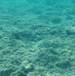 Striped mullet (Mugil cephalus), the species Hawaiians call ʻamaʻama, in Italy. Photo: Saggittarius A, CC BY 4.0.Saggittarius A · CC BY 4.0
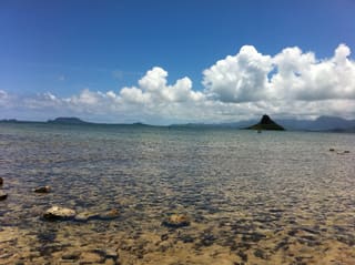 Moliʻi Fishpond, windward Oʻahu, with Mokoliʻi islet behind it.sshreeves · CC BY 2.0
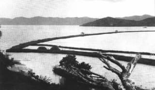 An archival photograph of Heʻeia Fishpond, Bishop Museum.Bernice P. Bishop Museum · Public domain
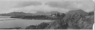 Fishponds in Kāneʻohe Bay, 1922.R. W. Perkins, Hawaii State Archives, call number PPWD-11-7-040 · Public domain
Story 9 of 14
The Observatory That Turned a Volcano into a Century-Long Signal
10 photographs and documents
Photographs and documents (10)
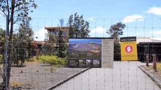 The Hawaiian Volcano Observatory building at Kīlauea.Larry D. Moore · CC BY 4.0
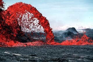 A lava fountain at Kīlauea, photographed by USGS.J.D. Griggs · Public domain
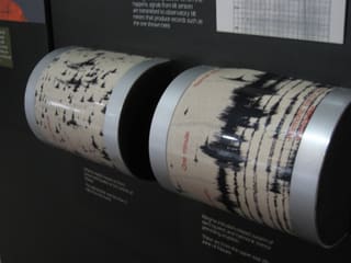 Seismograph instruments at the Thomas A. Jaggar Museum.Ken Lund · CC BY-SA 2.0
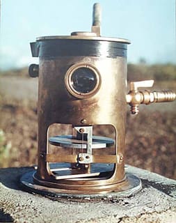 A tiltmeter installed on Mauna Loa.USGS · Public domain
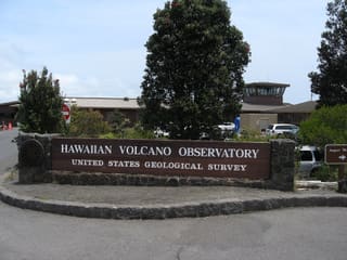 The Hawaiian Volcano Observatory institution.Ken Lund · CC BY-SA 2.0
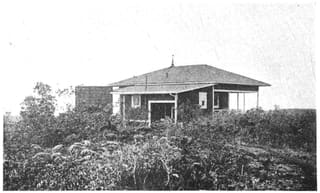 The original MIT-era Hawaiian Volcano Observatory on Kīlauea's rim, 1916.William Drake Westervelt, Hawaiian Legends of Volcanoes (1916), via the Internet Archive · Public domain
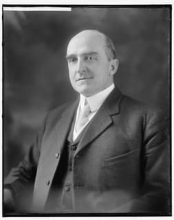 Thomas A. Jaggar, founder of the Hawaiian Volcano Observatory.Harris & Ewing, Library of Congress · Public domain
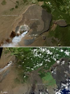 A satellite view marking 100 years of monitoring at Kīlauea.NASA's Earth Observatory · CC BY 2.0
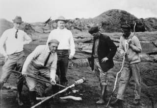 Jaggar and Thurston making a lava-temperature measurement at Kīlauea, 1917.USGS · Public domain
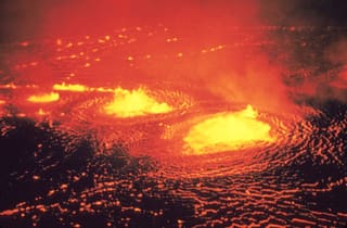 Kīlauea eruption at Halemaʻumaʻu, 1954.J. P. Eaton, U.S. Geological Survey, May 31, 1954 · Public domain
Story 10 of 14
The Golf Balls Above Kaʻena Point Tracked America’s Early Satellite Programs
9 photographs and documents
Photographs and documents (9)
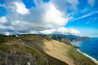
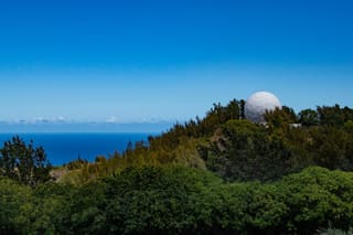 A radome atop the Waiʻanae Mountain Range at Kaʻena Point Space Force Station.U.S. Space Force photo by Senior Airman Brooke Wise · Public domain
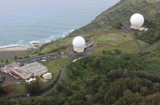
 Aerial view of the Kaʻena Point radomes above the coast.U.S. Space Force photo by Senior Airman Brooke Wise · Public domain
 Kaʻena Point Satellite Tracking Station marking 55 years of operation.U.S. Space Force image by 2nd Lt. Jason Gabrick · Public domain
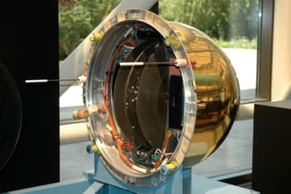 The CORONA/Discoverer film-return recovery capsule, Smithsonian National Air and Space Museum.VargaA · CC BY-SA 4.0
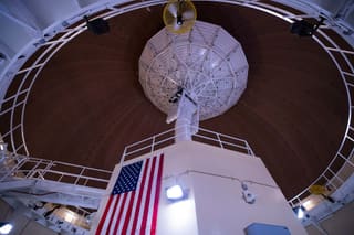 A radome receiving satellite data at Kaʻena Point.U.S. Space Force photo by Senior Airman Brooke Wise · Public domain
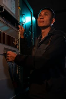
 A maintainer observing data collected by the radomes at Kaʻena Point.U.S. Space Force photo by Senior Airman Brooke Wise · Public domain
 The operations floor at Kaʻena Point Satellite Tracking Station.U.S. Space Force photo by Senior Airman Brooke Wise · Public domain
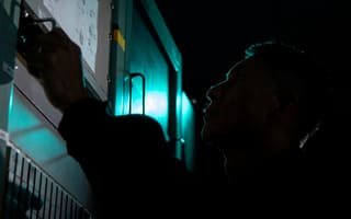 An operator relaying satellite location data at Kaʻena Point.U.S. Space Force photo by Senior Airman Brooke Wise · Public domain
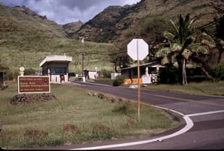 Entrance to the Kaʻena Point Satellite Tracking Facility.Avriette · CC BY-SA 3.0
Story 11 of 14
The Lines That Changed the Land
9 photographs and documents
Photographs and documents (9)
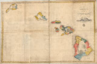 An 1838 map of the Hawaiian Islands by Simon P. Kalama.Simon P. Kalama (1838 map), Royal Geographical Society · Public domain
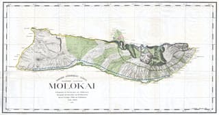 An 1897 Hawaii Territory Land Office map of Molokaʻi.Hawaii Territory Land Office (1897 map), via Geographicus Rare Antique Maps · Public domain
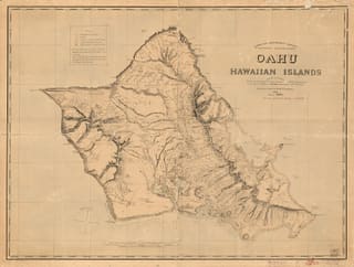 A Hawaiian Government Survey map of Oʻahu.Lyons, C. J.; Oahu Railway; Alexander, W. D. (William De Witt) · Public domain
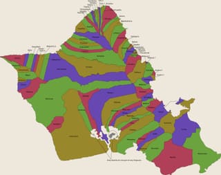 The traditional ahupuaʻa land divisions of Oʻahu.Mliu92 · CC BY-SA 4.0
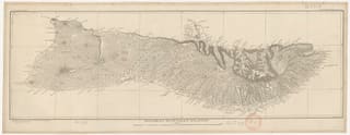 A 19th-century Hawaiian Government Survey triangulation map of Molokaʻi.Bibliothèque nationale de France · Public domain
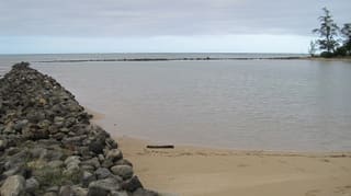 The stacked-stone wall corner of Huilua Fishpond.Joel Bradshaw · Public domain
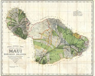 An 1885 Hawaiian Government Survey wall map of Maui.Hawaiian Government Survey, W. D. Alexander (1885 map), via Geographicus Rare Antique Maps · Public domain
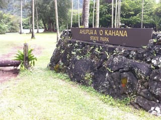 The entrance sign of Ahupuaʻa O Kahana State Park, windward Oʻahu.Travis.Thurston · CC BY-SA 3.0
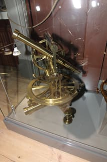 A historical surveying theodolite.MKFI · Public domain
Story 12 of 14
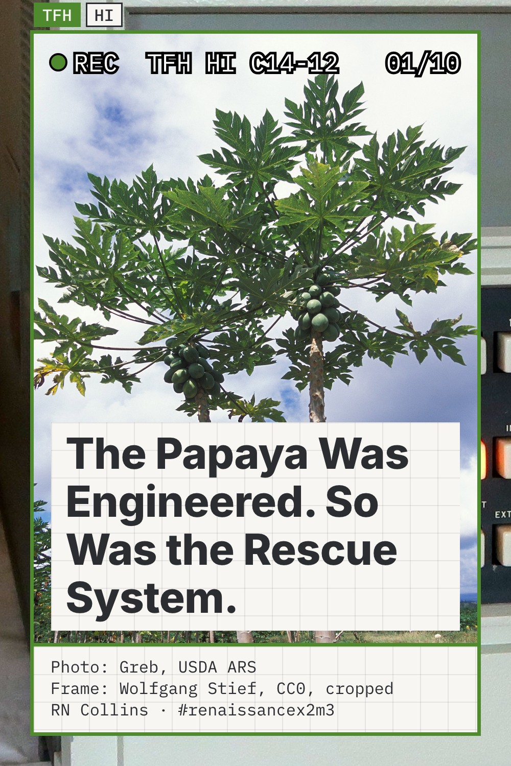
The Papaya Was Engineered. So Was the Rescue System.
14 frames · 10 photographs and documents · 3 downloads
ZIP of 14 JPG files (3.6 MB) LinkedIn PDF (3.6 MB) Pinterest pin (0.4 MB)
Frames (14)
 Frame 1 of 14Photo: Greb, USDA ARS
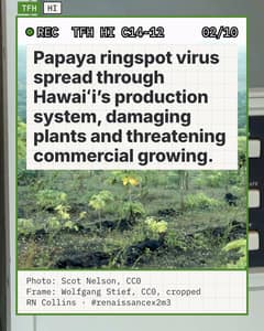 Frame 2 of 14Photo: Scot Nelson, CC0
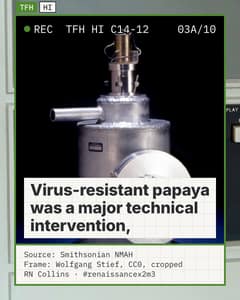 Frame 3 of 14Source: Smithsonian NMAH
 Frame 4 of 14Photo: Greb, USDA ARS
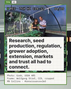 Frame 5 of 14Photo: Greb, USDA ARS
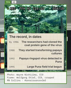 Frame 6 of 14Photo: Wayne Nishijima, CC0
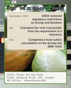 Frame 7 of 14Photo: Forest and Kim Starr
 Frame 8 of 14Photo: Ron Nichols, USDA NRCS
 Frame 9 of 14Photo: Scott Bauer, USDA ARS
 Frame 10 of 14Photo: Viriditas, CC BY-SA 3.0
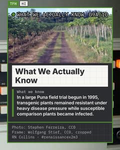 Frame 11 of 14Photo: Stephen Ferreira, CC0
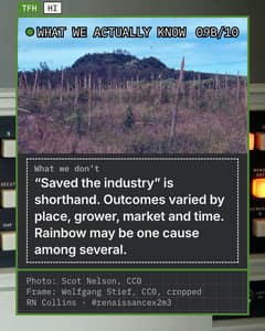 Frame 12 of 14Photo: Scot Nelson, CC0
 Frame 13 of 14Photo: Greb, USDA ARS
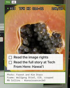 Frame 14 of 14Photo: Forest and Kim Starr
Photographs and documents (10)
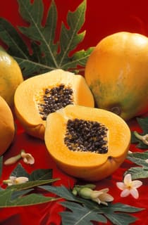 A papaya cut in half, photographed by USDA Agricultural Research Service.USDA Agricultural Research Service · Public domain
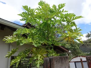 Side-by-side comparison of a ringspot-infected papaya plant and a healthy one.Plant pests and diseases · CC0
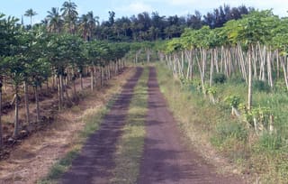 PRSV-infected papaya (right) next to transgenic, disease-free papaya (left).Plant pests and diseases · CC0
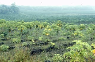 A papaya field in Hawaiʻi affected by papaya ringspot virus.Plant pests and diseases · CC0
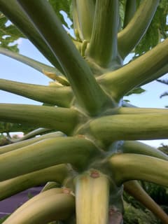 Mottling of papaya petioles, a symptom of papaya ringspot virus.Plant pests and diseases · CC0
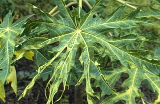 Leaf mosaic symptoms of papaya ringspot disease, photographed by Wayne Nishijima.Plant pests and diseases · CC0
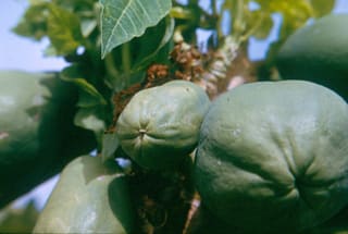 Papaya ringspot virus symptoms, 1966, photographed by E.E. Trujillo.Plant pests and diseases · CC0
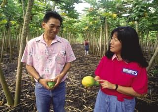 A papaya orchard in the Waiakea Conservation District, Hawaiʻi Island.Ron Nichols, USDA Natural Resources Conservation Service · Public domain
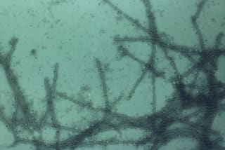 Transmission electron micrograph of papaya ringspot virus particles.Plant pests and diseases · CC0
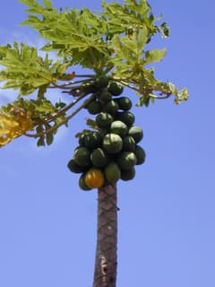 A papaya tree heavy with fruit, Lahaina, Maui. Photo: Forest and Kim Starr, CC BY 3.0, via Wikimedia Commons.Forest and Kim Starr, Plants of Hawaii · CC BY 3.0
Story 13 of 14
Hawaiʻi Once Powered a Barge with the Temperature Difference in the Ocean
7 photographs and documents
Photographs and documents (7)
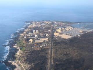 Aerial view of Keāhole Point, Hawaiʻi.Famartin · CC BY-SA 4.0
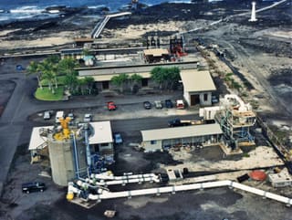 The OTEC test facility at Keāhole Point, Kona coast, Hawaiʻi.Creator not recorded on Wikimedia Commons · Public domain
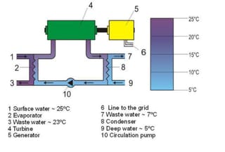 A closed-cycle OTEC power-cycle diagram.RobbyBer; derivative work by Lumos3 · CC BY-SA 1.0
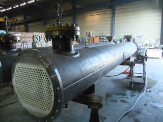 An industrial shell-and-tube heat exchanger.DWI · CC BY-SA 3.0
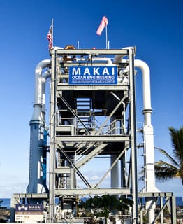 Makai Ocean Engineering's 105 kW OTEC demonstration plant, Kona, Hawaiʻi.HIOceanEngineer · CC BY-SA 4.0
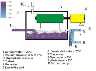 An open-cycle OTEC diagram.RobbyBer; derivative work by Lumos3 · CC BY-SA 1.0
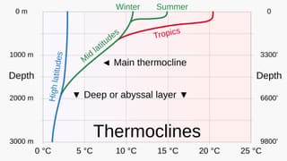 A chart of ocean thermoclines, temperature versus depth by latitude.RCraig09 · CC BY-SA 4.0
Story 14 of 14
Hawaiʻi Once Ran on a Half-Hour the Continent Forgot
22 frames · 10 photographs and documents · 3 downloads
ZIP of 22 JPG files (5.4 MB) LinkedIn PDF (5.4 MB) Pinterest pin (0.4 MB)
Frames (22)
 Frame 1 of 22Photo: Jack E. Boucher, HABS/NPS
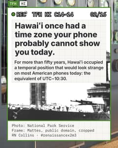 Frame 2 of 22Photo: National Park Service
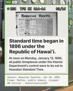 Frame 3 of 22Source: Hawaiian Gazette, Jan 10, 1896
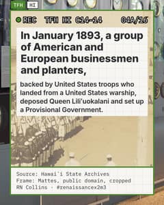 Frame 4 of 22Source: Hawaiʻi State Archives
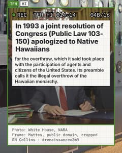 Frame 5 of 22Photo: White House, NARA
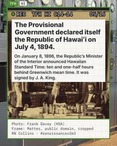 Frame 6 of 22Photo: Frank Davey (HSA)
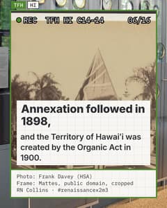 Frame 7 of 22Photo: Frank Davey (HSA)
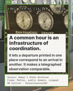 Frame 8 of 22Source: Hawaiʻi State Archives
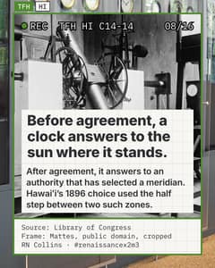 Frame 9 of 22Source: Library of Congress
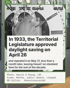 Frame 10 of 22Photo: Harris & Ewing, LOC
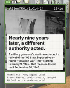 Frame 11 of 22Photo: U.S. Army Signal Corps
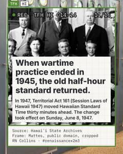 Frame 12 of 22Source: Hawaiʻi State Archives
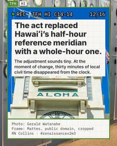 Frame 13 of 22Photo: Gerald Watanabe
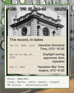 Frame 14 of 22Photo: HABS/NPS
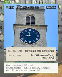 Frame 15 of 22Photo: w_lemay (Flickr)
 Frame 16 of 22Photo: fw190a8
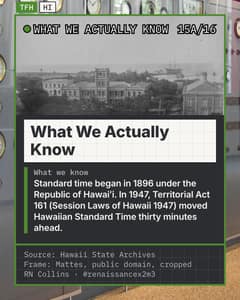 Frame 17 of 22Source: Hawaii State Archives
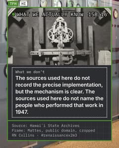 Frame 18 of 22Source: Hawaiʻi State Archives
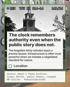 Frame 19 of 22Source: Hawaiʻi State Archives
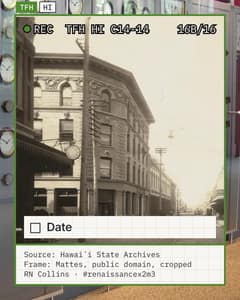 Frame 20 of 22Source: Hawaiʻi State Archives
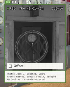 Frame 21 of 22Photo: Jack E. Boucher, USNPS
 Frame 22 of 22Photo: Mordomo (Commons)
Photographs and documents (10)
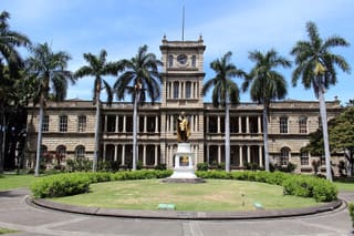 Aliʻiōlani Hale, Honolulu, home to one of the city's public clocks.Coolcaesar · CC BY-SA 4.0
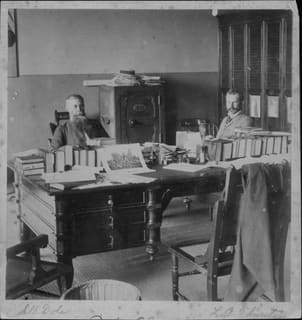 Sanford Dole and Lorrin Thurston, circa 1893-1894.Hawaii State Archives, call number PP-71-3-020 · Public domain
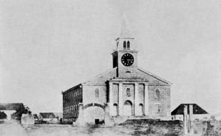 Kawaiahaʻo Church, Honolulu, 1857, home to the Kauikeaouli public clock.Hugo Stangenwald, circa 1857 · Public domain
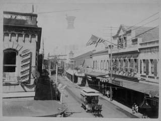 Fort Street, Honolulu, decorated for the 1894 proclamation of the Republic of Hawaiʻi.Hawaii State Archives. Call Number: PP-36-11-010 · Public domain
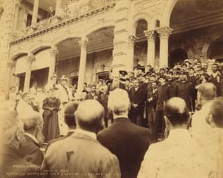 Sanford Dole proclaiming the Republic of Hawaiʻi, July 4, 1894.Joaquin A. Gonsalves, Bernice P. Bishop Museum · Public domain
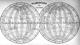 A 1896 world time-zone map by Enrico Frassi.Enrico Frassi, Almanacco italiano, 1896, page 11 · Public domain
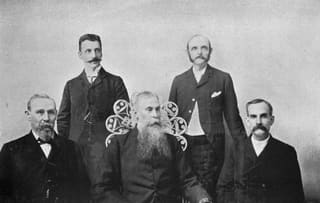 President Dole and his Cabinet, 1895.James McKinney Alexander, The Islands of the Pacific (1895), page 227 · Public domain
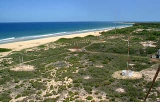 The antenna field of WWVH, Hawaiʻi's NIST time-signal radio station.National Institute of Standards and Technology (NIST). · Public domain
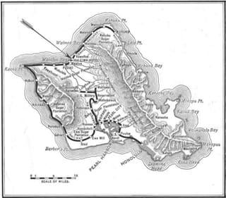 A 1919 advertisement map for the Oahu Railway.The Mid-Pacific Magazine, volume 16, number 4, advertisement section, page 26 · Public domain
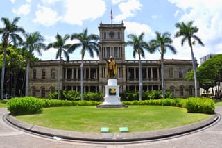 Aliʻiōlani Hale, 2011.Don Ramey Logan · CC BY-SA 3.0