The story
A volcano does not announce an eruption in a language made for humans.
No single change means the same thing every time. So the technology of monitoring a volcano was never really about one heroic sensor. It's a system for making fallible observations comparable across decades, and for judging when a pattern is worth acting on.
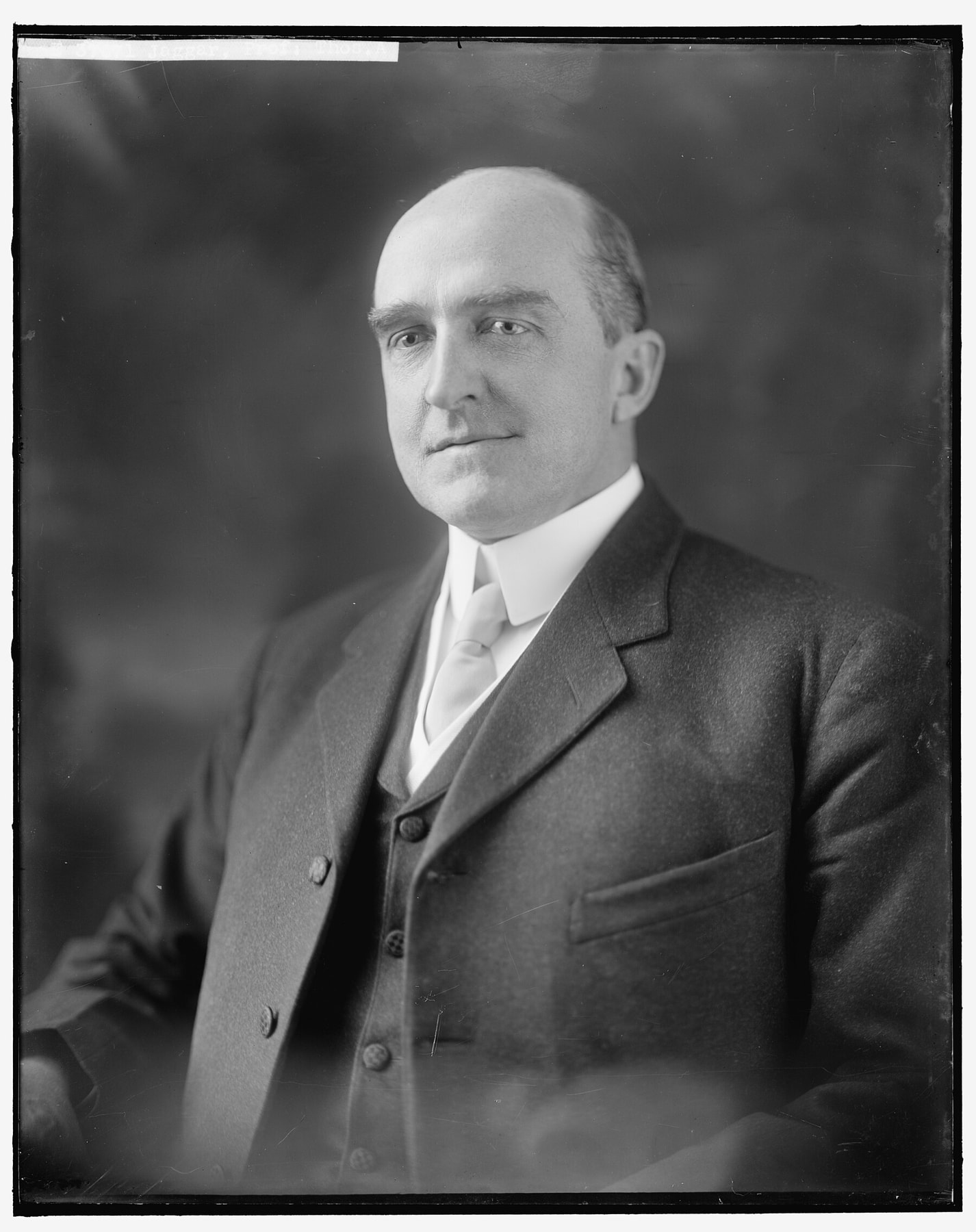
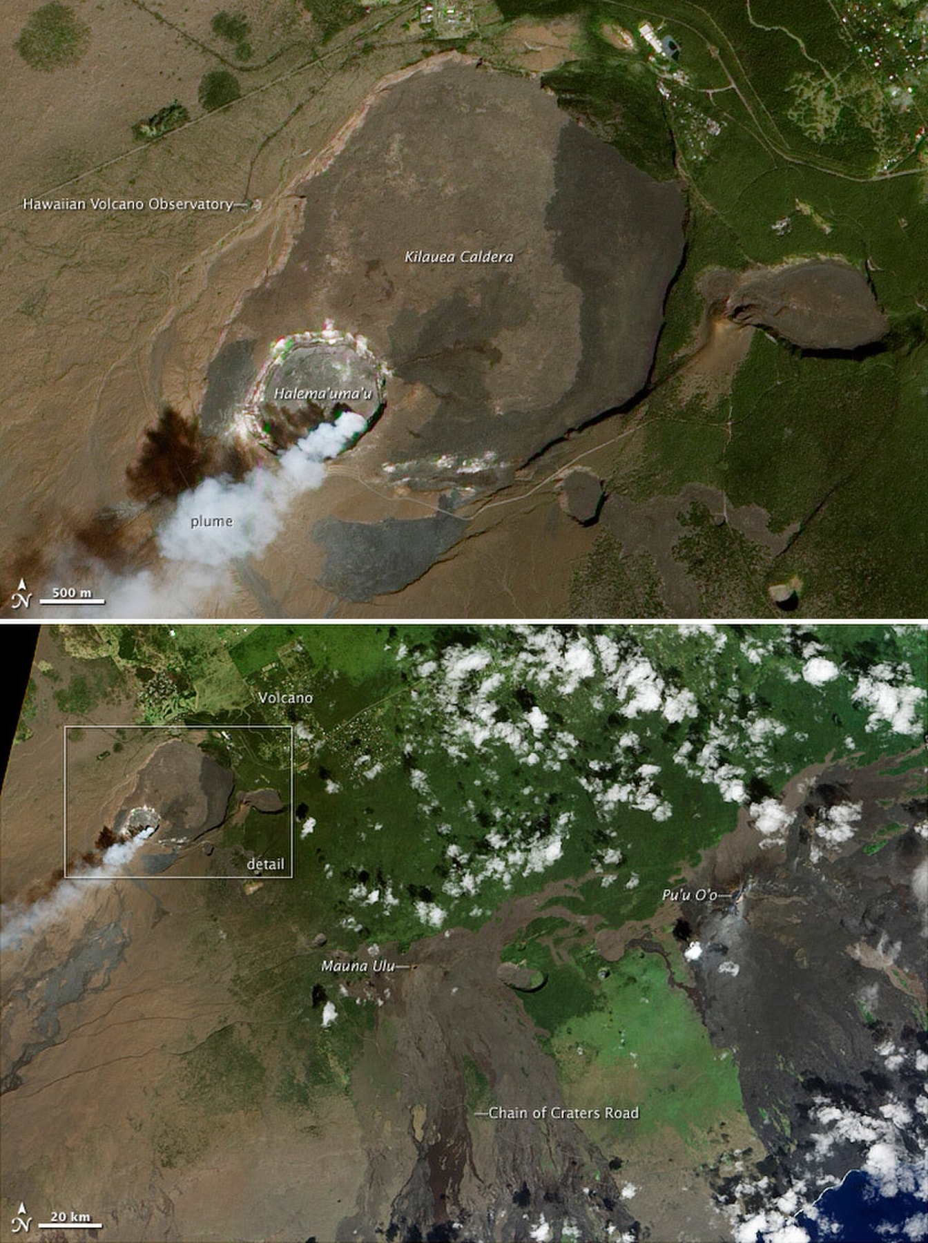
On Kīlauea’s rim in 1912, the Hawaiian Volcano Observatory began continuous, systematic study of Hawaiian volcanic and earthquake activity. Jaggar is conventionally identified as its founder.
“A century of data” can sound like possession of the volcano’s whole history. It is a century-scale record made by particular institutions, instruments, categories, and decisions about what to measure.
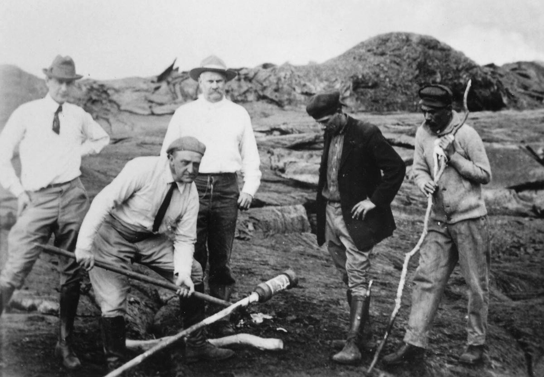
Jaggar didn't arrive at this by accident. Born in Philadelphia, the youngest son of an Episcopal bishop, he climbed into a smoking Vesuvius as a fourteen-year-old on a family trip in 1886. He earned a geology doctorate at Harvard in 1897 and was teaching at MIT when the United States government sent him to Martinique in 1902, after Mont Pelée killed roughly 30,000 people in a matter of minutes. He came home carrying something smaller than the wreckage: a nurse, Clara King, describing what she'd treated. "It was the human contacts, not the field adventures, which inspired me," he wrote later. For the next several years he scouted a volcano he could watch continuously instead of visiting after the fact: Vesuvius again in 1906, Alaska's Aleutian Islands in 1907, Hawaiʻi in 1909, where Kīlauea's open lava lake settled the question. He wanted a whole network of what he called "geonomical observatories" spread across the planet's active margins. Kīlauea became the one he actually built.
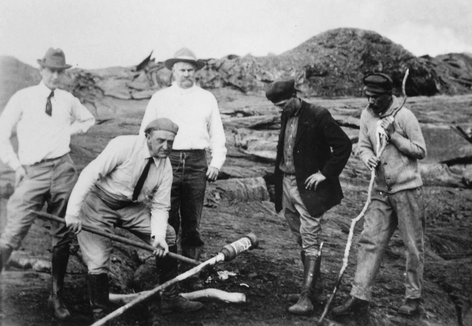
Someone else did the first season of fieldwork. Frank Perret, an Edison-trained engineer who'd been observing Vesuvius, spent July through October of 1911 camped on Halemaʻumaʻu's rim before Jaggar had even moved to Hawaiʻi. Perret rigged a cable between two towers over the crater and lowered a pyrometer into the circulating lava, recording 1,010°C, the first direct temperature measurement of molten lava taken anywhere in the world. His season proved the site was workable. Getting MIT to commit to it was a separate fight: president Richard Maclaurin and treasurer Charles Stone balked at running a research station five thousand miles from Cambridge. Lorrin Thurston, the Honolulu publisher who owned the railway and the hotel that gave visitors access to the crater, broke the deadlock by threatening to fund the observatory without MIT if Maclaurin wouldn't commit to it. Maclaurin gave in, and July 1, 1912 became the observatory's official start date, more than five months after Jaggar had already begun surveying the lava lake in the field. Money came from two directions at once: Thurston's Hawaiian Volcano Research Association raised local subscriptions, and Jaggar separately talked the Whitney estate up from an initial $10,000 pledge to $25,000, after a personal appeal to Caroline Whitney, then eighty-four.
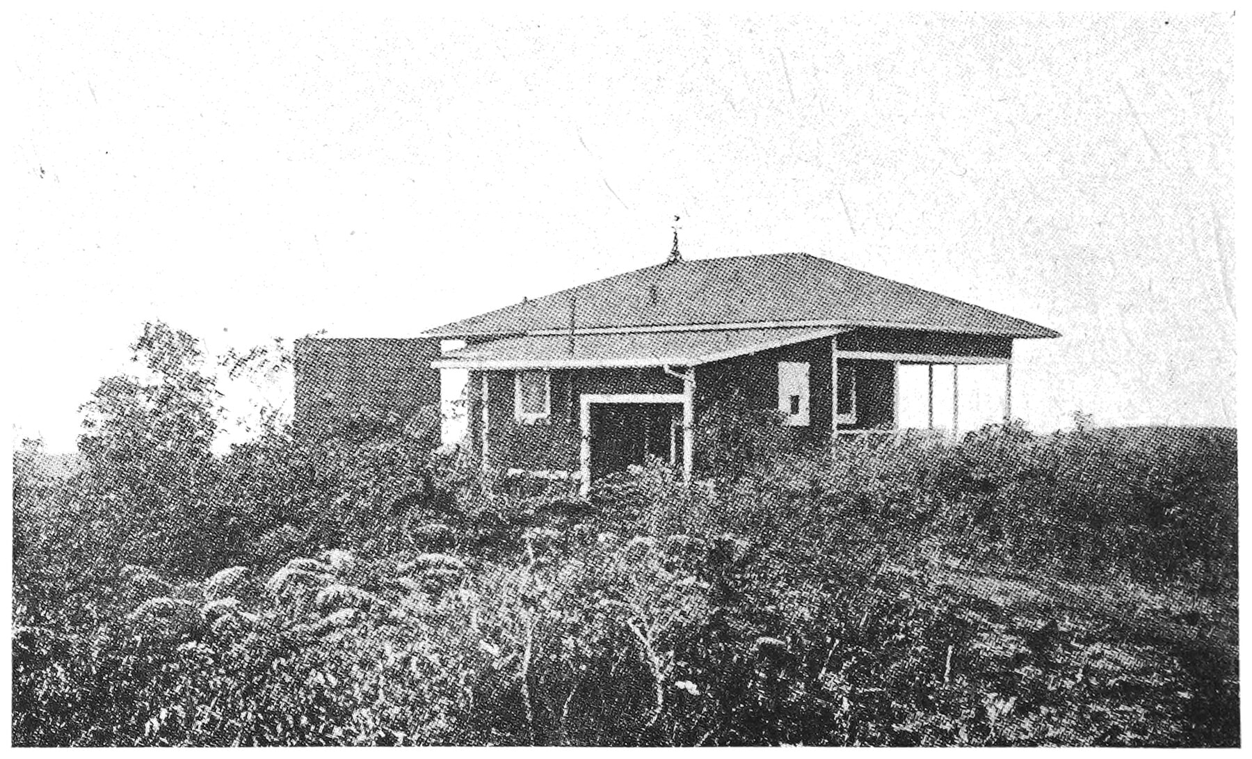
Jaggar reached Hilo on January 17, 1912, traveled to Volcano House, and started surveying the lava lake that same afternoon. But an observatory can't survive as one scientist staring into a crater. Frank B. Dodge showed up within the week as an assistant, and later kept the operation running when Jaggar was abruptly called back to Boston by his children's illness. Demosthenes Lycurgus, who ran Volcano House, led the local fundraising drive; Hilo businesses contributed $1,785 to fund construction of the wooden observatory building. Territorial prisoners dug the cellar for the seismographs by hand. Even the site itself depended on a sublease from Volcano House, granted with Bishop Estate's permission.
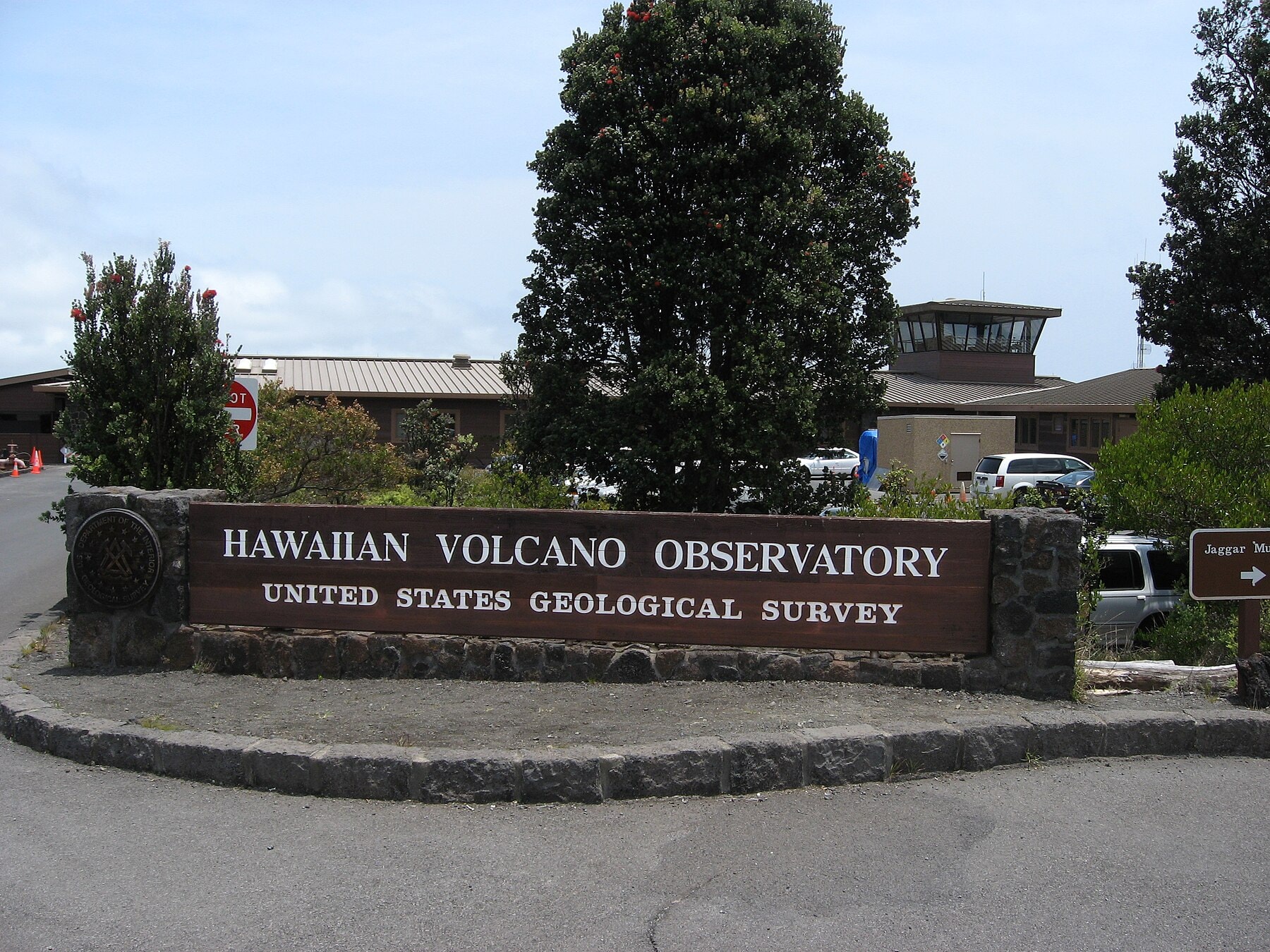
The observatory's institutional home kept changing under it. MIT and the Hawaiian Volcano Research Association ran it in the early years; from 1919 the U.S. Weather Bureau administered it, then the U.S. Geological Survey from 1924, then the National Park Service from 1935. The USGS took permanent custody in 1947 and has held it since. Each handoff carried the risk that a new agency would deprioritize a distant volcano watch nobody had budgeted for. None of them did. The instruments and the record survived the reshuffling of who signed the paychecks, which is its own kind of evidence that the observatory had become bigger than any one of its sponsors.
Carnegie Laboratory director Arthur Day and E.S. Shepherd arrived to collect volcanic gases and re-measure temperatures. Dodge climbed down into Halemaʻumaʻu with them to grab samples before the gases mixed with air. Seismologist H.O. Wood came with Jaggar in June and got the mechanical instruments running in the cellar the prisoners had dug, a vault named for Edward and Caroline Whitney, whose estate had funded it, fitted with seismometers designed by the Japanese seismologist Fusakichi Omori. It's been on the National Register of Historic Places since 1974. None of this was a lone act of invention. It came together through local supporters, field workers, assistants, outside labs, publication networks, and instruments, layered on top of each other.
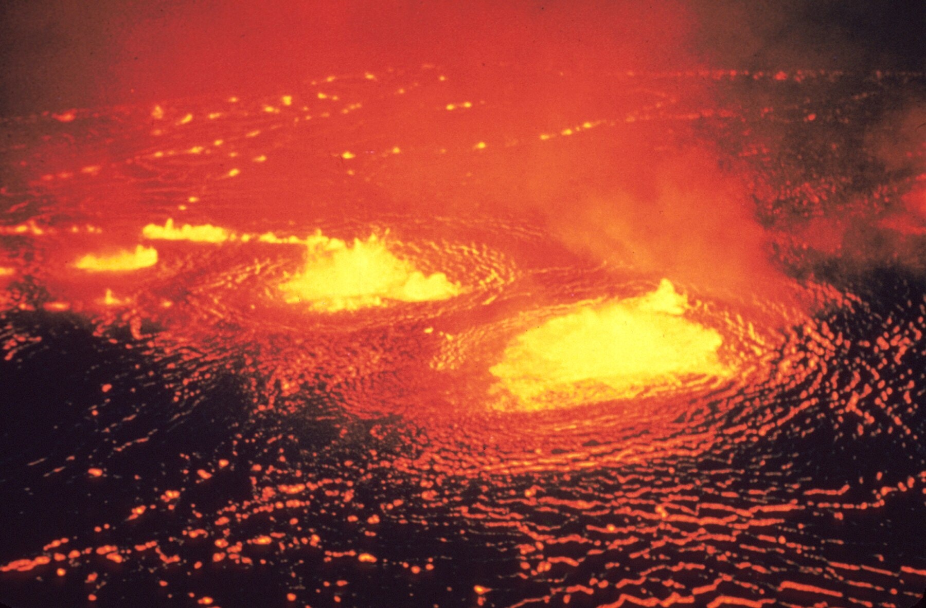
The new institution's first serious test came in 1924. For nearly two decades Halemaʻumaʻu had held a lava lake; in February that year the lake drained away in two days, leaving an incandescent pit roughly 380 feet deep. Groundwater found its way to the hot rock below, and starting May 11 the crater began throwing itself apart in steam-driven blasts, about sixty of them over sixteen days, peaking on May 18 with ash clouds over 21,000 feet high and blocks the size of cars landing around the rim. One of those blocks killed Truman Taylor, a young accountant from Pāhala who was on the caldera floor when the largest explosion hit. Fifty-six years later, on the same calendar date, Mount St. Helens erupted and killed a man also named Truman. Jaggar was in New York when it started and didn't get back until the eruption was nearly over. The observatory kept functioning without him, which was its own kind of proof: the record didn't depend on one person being physically present to read it.
Nine years later the observatory demonstrated what a signal could be worth when someone acted on it in time. On March 2, 1933, the Bosch-Omori seismograph in the Whitney Vault, installed in 1913, picked up a distant earthquake off Japan. Jaggar and observer Austin Jones compared arrival times against a second seismic station down the coast at Kealakekua, estimated when a tsunami might reach Hilo, and had harbor officials clearing piers and moving ships out to sea by mid-morning. The wave arrived within about ten minutes of their forecast, and the Hawaiian Volcano Observatory’s own history says the warning was heeded and no lives were lost. It wasn't the first time Jaggar had tried. Ten years earlier, after a major earthquake near Kamchatka, he'd warned the Hilo harbormaster of a possible wave and been ignored; at least one fisherman died. The instrument hadn't changed between 1923 and 1933. What changed was whether anyone trusted the people reading it.
Early observers concentrated on three families of signal that still structure monitoring: earthquakes, deformation, and volcanic gases.
Deformation measures the changing shape of the volcano. Jaggar’s era used surveying and tilt observations. Later systems added electronic tiltmeters, precise leveling, GPS, satellite radar, and other tools.
Gas adds another window. As pressure changes and magma rises, gases escape.
Each stream is incomplete. Together, they can become evidence.
Imagine rising earthquake rates without deformation. That might support several explanations. Add rapid inflation, changing gas output, and visual evidence, and the interpretation changes. Add a broken station or a storm and confidence changes again.
By the late 1950s the observatory had new tools to test against new eruptions. A 1955 rift eruption spread lava across roughly 3,900 acres of lower Puna over 88 days and destroyed 21 homes, the first eruption in an inhabited part of Kīlauea since 1840. Then in 1959, newly installed seismometers and tiltmeters caught something the 1955 instruments couldn't have: earthquake swarms as deep as 55 kilometers beneath the summit, months before Kīlauea Iki erupted at the surface. A second East Rift eruption at Kapoho in January 1960 destroyed nearly 100 homes and businesses and buried most of the village despite efforts to wall the flow off with earthen barricades. Piecing the three eruptions together, HVO scientists built the first working model of how magma is stored and moves beneath Kīlauea: where it pools, how it rises, what the ground does on the way up. More than fifty years and a great many eruptions later, that basic picture still holds.
It depends on instruments, calibration, communications, maintenance, models, field judgment, historical comparison, and people willing to argue about what the pattern means.
Digitizing those records does not make the series seamless. A responsible century-scale analysis must account for those discontinuities rather than treating every old mark as directly equivalent to a modern measurement.
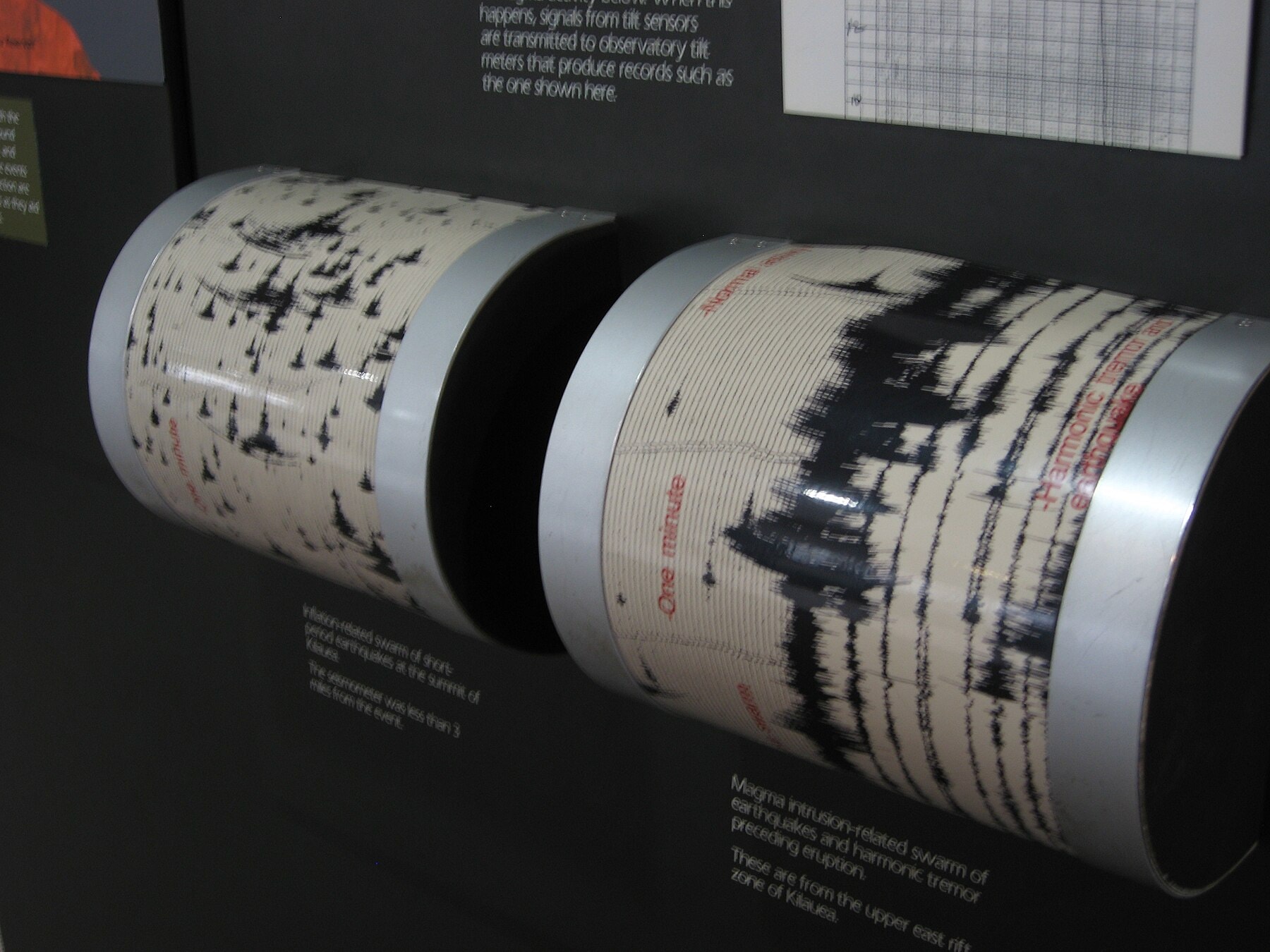
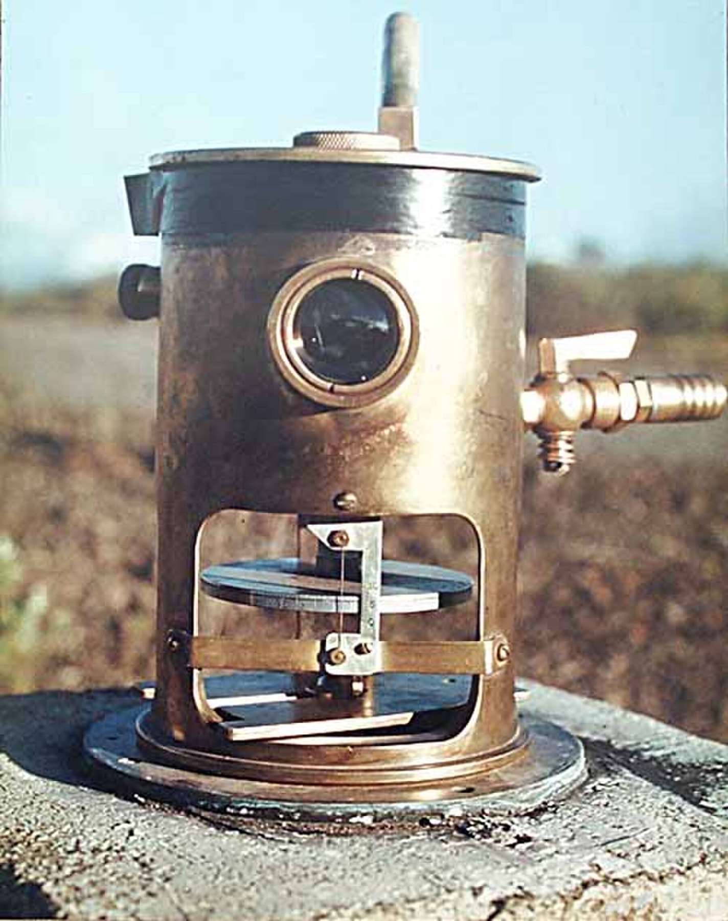
The seismic archive makes that material history visible. Early instruments scratched traces into soot coating glossy paper on a rotating drum. Recording later moved through photographic paper, heat-sensitive paper, and pen-and-ink systems before HVO ended paper recording in 2013. By then it was using a fourth generation of computer-based acquisition and processing. Across the paper era, the observatory accumulated nearly half a million seismograms.
Digitizing those records is one job. Extracting a usable digital trace from them is another. Metadata about the station, the timing, the calibration, the instrument's response, even the paper itself, determines whether a modern researcher can responsibly line up an old squiggle against contemporary data.
Jaggar issued a weekly bulletin almost immediately. Reports traveled by wireless to Honolulu and then appeared in the newspaper associated with one of the observatory’s principal supporters. That route joined field observation, radio transmission, editorial production, commercial media, and readership. It extended HVO’s effective instrument panel beyond the laboratory, but it also located interpretive power inside a particular institutional and political network.
Bulletins, the Volcano Letter, maps, radio, websites, email notifications, social platforms, livestreams, and agency briefings can distribute more information more rapidly. An alert category may be consistent and still mean different things to a resident, visitor, school, airline, or emergency manager.
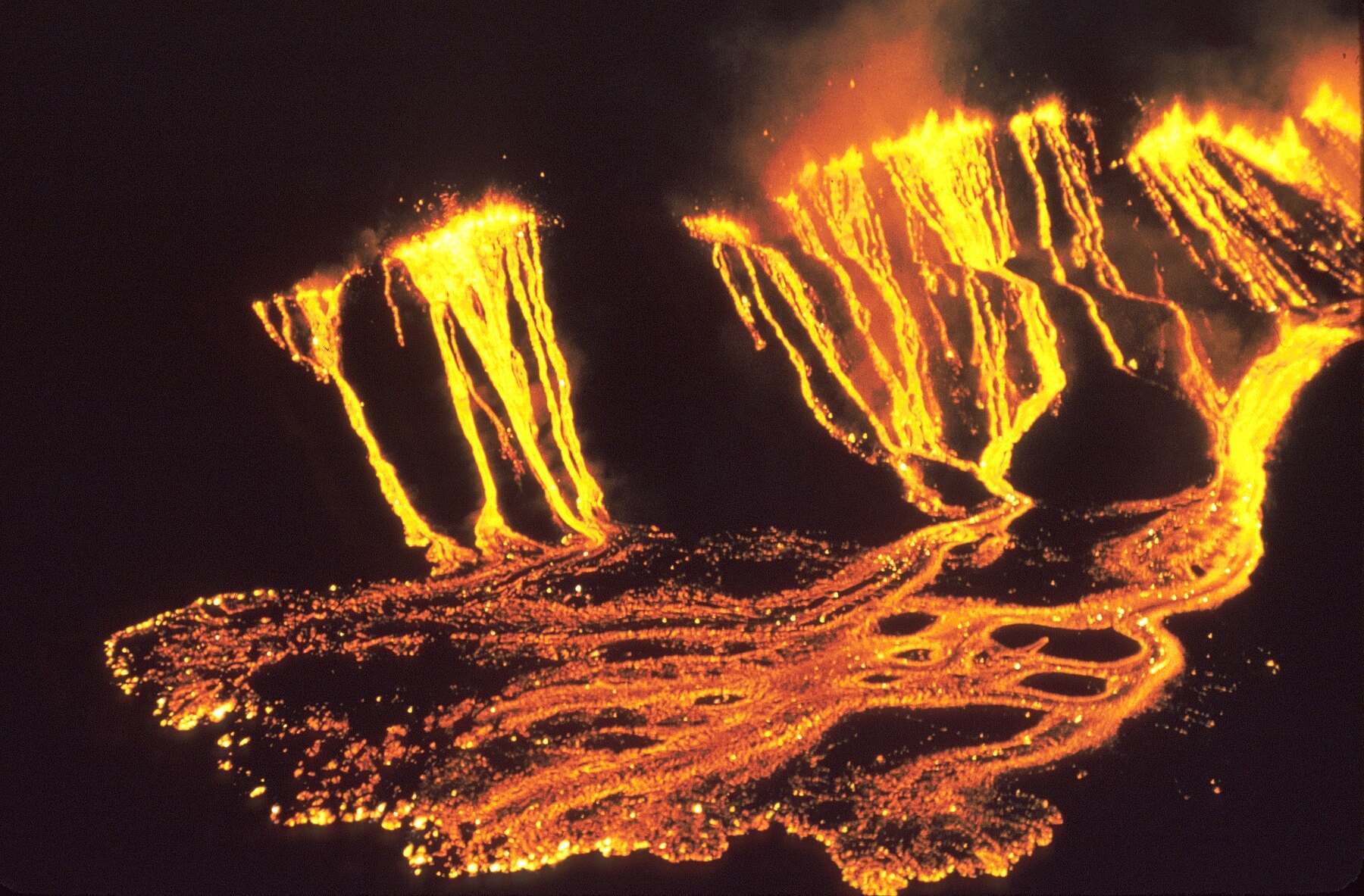
The clearest demonstration of what sustained monitoring could do came from a single vent. Puʻuʻōʻō, on Kīlauea's East Rift Zone, erupted almost continuously from January 3, 1983, until its crater floor collapsed at the end of April 2018, the longest and most voluminous outpouring of lava from that rift zone in over 500 years. HVO tracked it for all thirty-five years: geochemists began sampling its lava within months of the first fissures, on the theory that short-term shifts in composition might reveal what was happening underground before the surface showed it. By the time it stopped, Puʻuʻōʻō had erupted about 4.4 cubic kilometers of lava, added 177 hectares of new land to the coastline, destroyed 215 structures, and buried more than fourteen kilometers of highway as much as 35 meters deep. A monitoring program built to catch a single eruption's warning signs ended up running a controlled, decades-long experiment in what a shield volcano does when nobody makes it stop.
A sensor does not issue an evacuation.
The signal must pass through equipment, analysts, models, alert-level rules, emergency managers, media, trust, transportation, housing, disability access, language, and the choices available to residents.
When Puʻuʻōʻō's crater floor gave way, magma pushed downrift instead, and on May 3, 2018, fissures opened in the Leilani Estates subdivision, miles from the summit. Lava eventually reached the ocean at Kapoho Bay, eleven kilometers away. At the same time, the summit itself began collapsing: over several months, a series of magnitude-5-plus collapse events roughly doubled the width and tripled the depth of Halemaʻumaʻu crater. The eruption exposed the observatory's own fragility along with the mountain's. The historic HVO building, perched on the caldera rim, developed cracks through its foundation, floors, and walls as the ground beneath it kept dropping. By the end of May, staff had to evacuate; the University of Hawaiʻi at Hilo, with its spring semester just finished, handed over an empty geology building and lab space for the rest of the summer. Distributed stations, remote sensing, field deployments, and redundant communications were not conveniences.
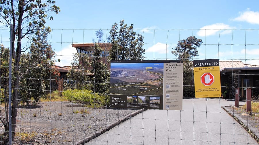
Recovery became its own infrastructure project. The old HVO building and the adjacent Jaggar Museum were declared structurally unsound and were finally demolished in 2024, six years after the people who'd worked in them had already relocated. HVO has run out of temporary offices in Hilo ever since, with a new field station planned for 2026 and a permanent headquarters at the University of Hawaiʻi at Hilo targeted for 2027, a decade-long rebuild for an institution whose original building went up in about a year. Replacing the building without rebuilding the measurement network wouldn't have restored the observatory. Restoring the sensors without learning from what failed would have just reproduced the old, more fragile system.
Resilience is not an indestructible center. It is the ability to keep producing trustworthy knowledge when sensors fail, terrain changes, access disappears, and the old baseline no longer behaves like the present.
The pressure to sound certain can be intense because public decisions carry enormous costs. Alert too readily and institutions may lose trust or impose unnecessary disruption. Wait for certainty and the warning may arrive after the useful decision window. HVO’s real technology is partly the discipline of making consequential judgments before the evidence becomes complete.
Today, HVO uses a distributed network of field stations and multiple measurement types. The precise instrument count changes as stations are installed, damaged, repaired, or retired; any public number should be date-stamped rather than repeated as timeless fact.
Kīlauea itself hasn't gone quiet. On December 23, 2024, it began erupting again inside Halemaʻumaʻu, in a pattern HVO hadn't recorded there before: episodic fountaining from two vents on the crater floor, each burst lasting up to twelve hours, separated by pauses that can run more than two weeks. The fountains have grown over time: roughly 600 feet in the earliest episodes, about 1,150 feet by Episode 23 in May 2025, and around 1,500 feet by Episode 35 that October, with ash-and-gas plumes climbing past 20,000 feet. Starting with Episode 24, HVO began pairing a plain-language activity notice with a separate aviation notice for each episode, without moving the underlying alert level off WATCH/ORANGE, a small, telling adjustment to the same problem the observatory has faced since its first bulletin: the same signal doesn't mean the same thing to a resident, a pilot, and a park visitor reading it at the same moment. By March 2026 the eruption had produced at least forty-three episodes. It was still producing them, on the same volcano the observatory was built to watch, as this was written.
HVO is the oldest of the five volcano observatories the USGS now runs, and it installed the agency's first seismic network anywhere. Jaggar ran it until his retirement in 1940.
His first successor had already spent two decades reading the instruments. Ruy Finch, an Ohio-born seismologist, transferred to HVO in 1919 and was running it alone within seven months, during one of Jaggar's absences. He was the one who warned of the imminent blasts in May 1924, and later that year he and Jaggar published the idea that would make the 1933 tsunami forecast possible: that an earthquake's own seismic waves, traveling some sixty times faster than the wave it might generate, could give a coastal town enough warning to matter. Finch became HVO's second director in 1940 and ran it through World War II, when the observatory's own signal briefly went dark on purpose. A 1942 Mauna Loa eruption was kept out of the newspapers because officials feared a glowing lava flow at night would help Japanese aircraft navigate to Hawaiʻi; the Army bombed the flow anyway, hoping to steer it from Hilo, and the lava stopped seven miles short of downtown on its own. Finch retired to a California apple orchard in 1951 and died there in 1957. Nineteen scientists have held the director's or scientist-in-charge's chair since, with Ken Hon, the current one, counted as the 21st in the observatory's history. That succession is itself part of the record: the observatory was never going to survive a century-plus of continuous operation on one founder's authority, and it didn't have to.
The 2022 eruption of Mauna Loa, the first at that volcano in 38 years, shows several instrument types working in sequence. On November 27, 2022, a swarm of small, shallow earthquakes began beneath the caldera and just south of the summit. By 10:50 p.m. HST, the MOK tiltmeter on the northeast rim of the summit caldera had recorded inflationary tilt of over 100 microradians, and tremor appeared minutes later. Webcam imagery confirmed open fissures in Mokuʻāweoweo at 11:21 p.m. The eruption later moved to the Northeast Rift Zone, ended on December 10, and covered about 36 square kilometers, with the longest flow reaching 18 kilometers from fissure 3 without reaching the Daniel K. Inouye Highway. The summit subsided by nearly 40 centimeters over those days. The published accounts do not say how the early signals were communicated to residents, so that link in the chain stays outside what can be claimed here.
The observatory did not turn Kīlauea into a machine. It turned particular changes in the volcano into records people could compare and act upon.
A machine follows the model. A volcano exposes where the model is incomplete.
The better inheritance is not the fantasy that enough sensors will make uncertainty disappear. It is the institutional habit of preserving observations, exposing changes in method, maintaining multiple lines of evidence, publishing interpretations, and rebuilding the system after the volcano invalidates its assumptions. That habit is slower and less cinematic than prediction. It is also what makes prediction accountable.
The national picture is less even than Hawaiʻi’s. A 2018 update of the National Volcano Threat Assessment ranked 18 U.S. volcanoes as very high threat, 39 as high threat, and 51 as moderate threat, all west of the Rocky Mountains, and USGS reported that about two-thirds of active volcanoes were insufficiently monitored. On March 12, 2019, Congress authorized the National Volcano Early Warning and Monitoring System within USGS. The plan described by USGS includes broadband seismometers, infrasound arrays, continuous GPS receivers, webcams, gas sensors, a data center, and a 24/7 volcano watch office to coordinate the five USGS volcano observatories. Authorization is a statement of intent, and the sources reviewed here do not establish how much of that network has since been built.
Excavating an instrument vault, replacing a buried station, digitizing paper, maintaining telemetry, writing a public bulletin, and explaining an uncertain forecast are not support tasks around the “real” science. They are how a momentary physical change becomes durable, interpretable public knowledge.
Seen this way, the observatory is not a building overlooking a volcano. It is a maintained chain of custody for signals, from moving ground to public decision, whose credibility depends on showing where every translation can break. The same custody-of-signal problem recurs elsewhere in this series: The Gate That Thinks With the Tide and The Machine Inside the Mountain.
Sources for material added October 3, 2026 (each checked on that date): USGS Hawaiian Volcano Observatory, Volcano Watch, tilt, tremor and lava, remembering Mauna Loa’s 2022 eruption, usgs.gov/observatories/hvo/news/volcano-watch-tilt-tremor-and-lava-remembering-mauna-loas-2022-eruption, and the 2022 data release, usgs.gov/observatories/hvo/news/new-usgs-data-release-mauna-loa-2022-eruption-geospatial-data. USGS, National Volcano Early Warning System, usgs.gov/news/featured-story/national-volcano-early-warning-system-nvews-will-help-usgs-better-monitor, and usgs.gov/programs/VHP/national-volcano-early-warning-system-monitoring-volcanoes-according-their-threat. Sources added October 12, 2026 (each checked on that date): USGS Hawaiian Volcano Observatory, Volcano Watch, April 5, 2007, usgs.gov/observatories/hvo/news/volcano-watch-hvos-role-history-tsunami-prediction-hawaii, and its April tsunami awareness month column, usgs.gov/observatories/hvo/news/volcano-watch-april-tsunami-awareness-month-hawaii. Those pages say the 1933 warning was heeded and no lives were lost, and they date Jaggar’s tsunami forecasting to 1922. The about-ten-minutes figure and the March 2, 1933 timings are not in them, and no second source for those was found.


.jpg)

%2C_Hawai%CA%BBi_Volcanoes_National_Park%2C_Hawaii_(4528768779).jpg)
%2C_image_p._194_(M._I._T._Hawaiian_Volcano_Observatory%2C_Kilauea_Crater).jpg)


