The story
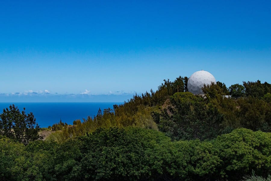
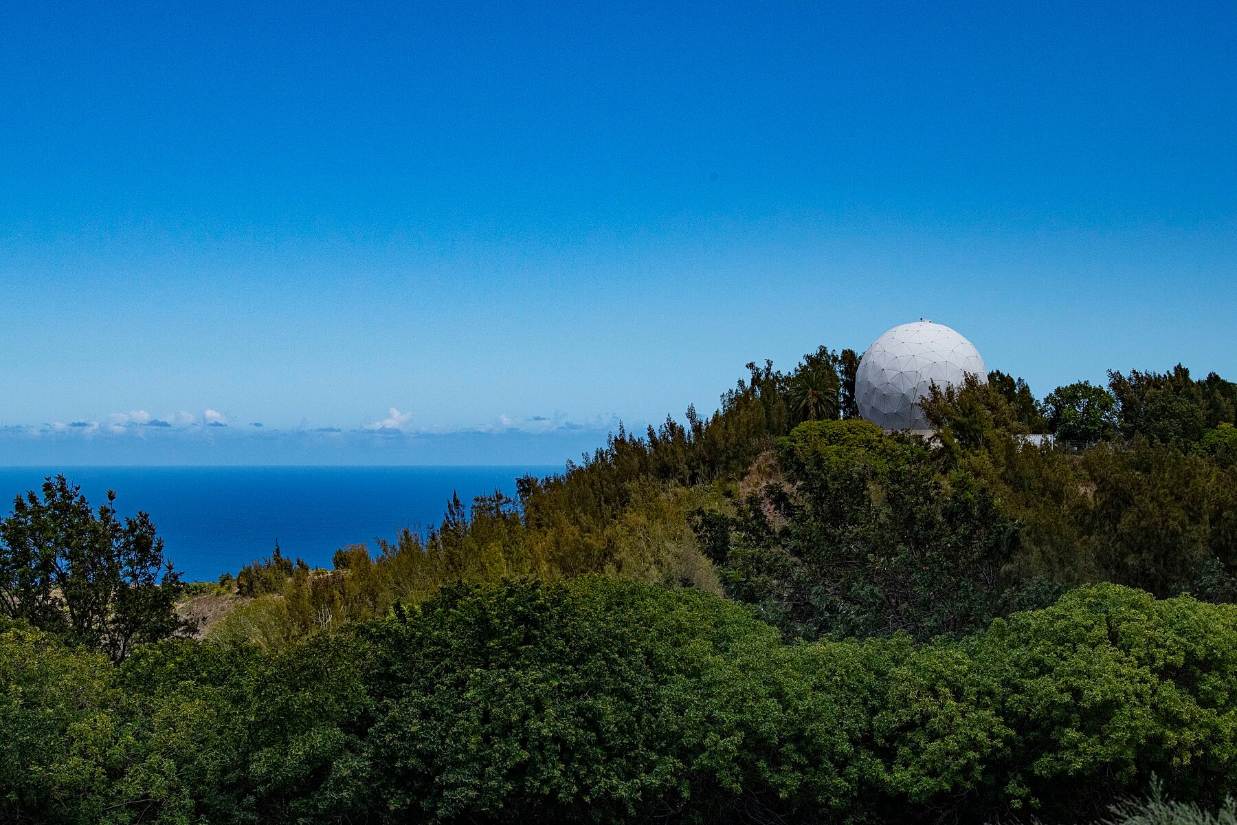
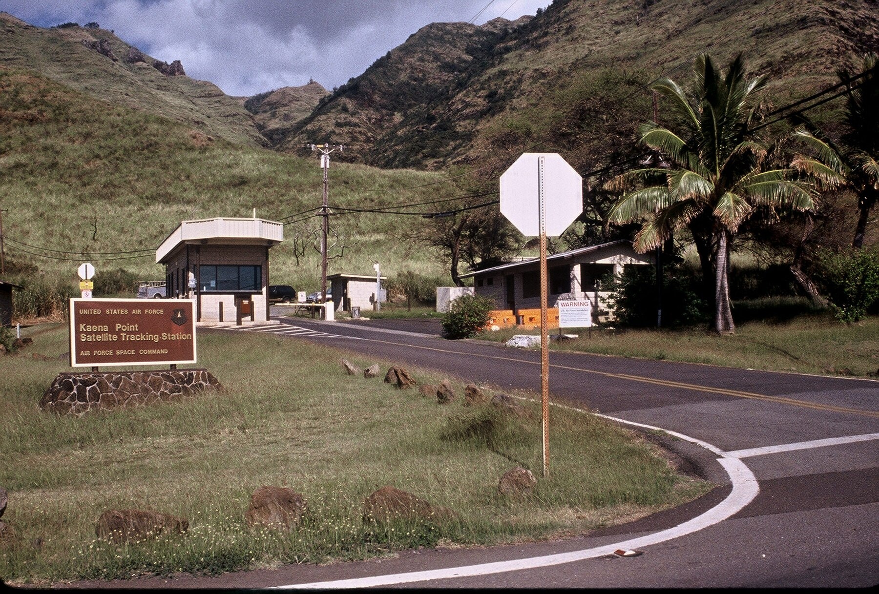
From the Waiʻanae coast, the white radomes above Kaʻena Point look almost sculptural: two pale spheres balanced on a ridge, visible from the highway below like something dropped from orbit rather than built by hand. Locals call them the golf balls. The U.S. Space Force calls the site Kaʻena Point Space Force Station. For most of the Cold War it went by a plainer name: HULA.
From Discoverer to CORONA
Construction began in 1958 on land leased from the State of Hawaiʻi. Operations started in February 1959, and the mission was to support a program the public knew as Discoverer. Discoverer was the cover story. The real payload, classified for more than three decades, was CORONA, the first American satellite system built to photograph the Soviet Union from orbit.
A satellite passes over any single ground station for only a few minutes at a time. In that window, operators had to acquire the signal, check the spacecraft's position against its predicted path, pull down telemetry on its condition, and, if the plan called for it, send commands back up: adjust the orbit, fire the camera, trigger deorbit. Kaʻena Point did that work, pass after pass, for a program most of the people running it weren't allowed to name.
Declassified National Reconnaissance Office records place Kaʻena Point among the network of remote stations that supported Discoverer/CORONA and the missions that followed it. What the record doesn't support is guesswork about any specific satellite, target, or classified mission the station worked afterward. The paper trail covers categories of Cold War-era operations, not a live inventory.
CORONA's reach had real limits, and they showed early. On October 1, 1962, two weeks before U-2 flights confirmed Soviet missile deployments in Cuba, a CORONA mission tried to photograph the island from orbit. Cloud cover and haze left the imagery too poor to show what the U-2s later found. The satellite program that a Hawaiian ridge helped keep in contact with the ground was not an all-seeing eye. It was one imperfect instrument among several, and during the crisis that mattered most that decade, it was the other one that worked.
Coverage was the measure of success. The CIA Museum’s page on CORONA film says the first successful mission returned more photographic coverage of the Soviet Union than all earlier U-2 missions, and HistoryNet puts the Discoverer 14 haul at about 3,000 feet of film covering 1,650,000 square miles, with Eastman Kodak handling the processing. Image sharpness improved slowly. Air & Space Forces Magazine gives early resolution as 35 to 40 feet and later as six to ten feet by 1972, while HistoryNet cites about 25 feet improving to six, so the sources disagree. Over its life, the magazine adds, CORONA imaged some 510 million square nautical miles, about 95 percent of it foreign territory of intelligence interest.
Politics shaped the timing. HistoryNet notes that Eisenhower approved CORONA in 1958 and wanted to avoid a repeat of the U-2 incident after Powers was shot down on May 1, 1960. Publicly, Discoverer was described as a study of conditions outside the atmosphere and a test of spaceflight techniques, including recovery. An Army history article counts 38 public Discoverer launches and credits the photography with undercutting the missile gap argument. Its primary mission, that article says, was watching foreign sites tied to intercontinental and intermediate-range ballistic missiles, submarine-launched missiles, heavy bombers and nuclear energy.
Getting the Film Home
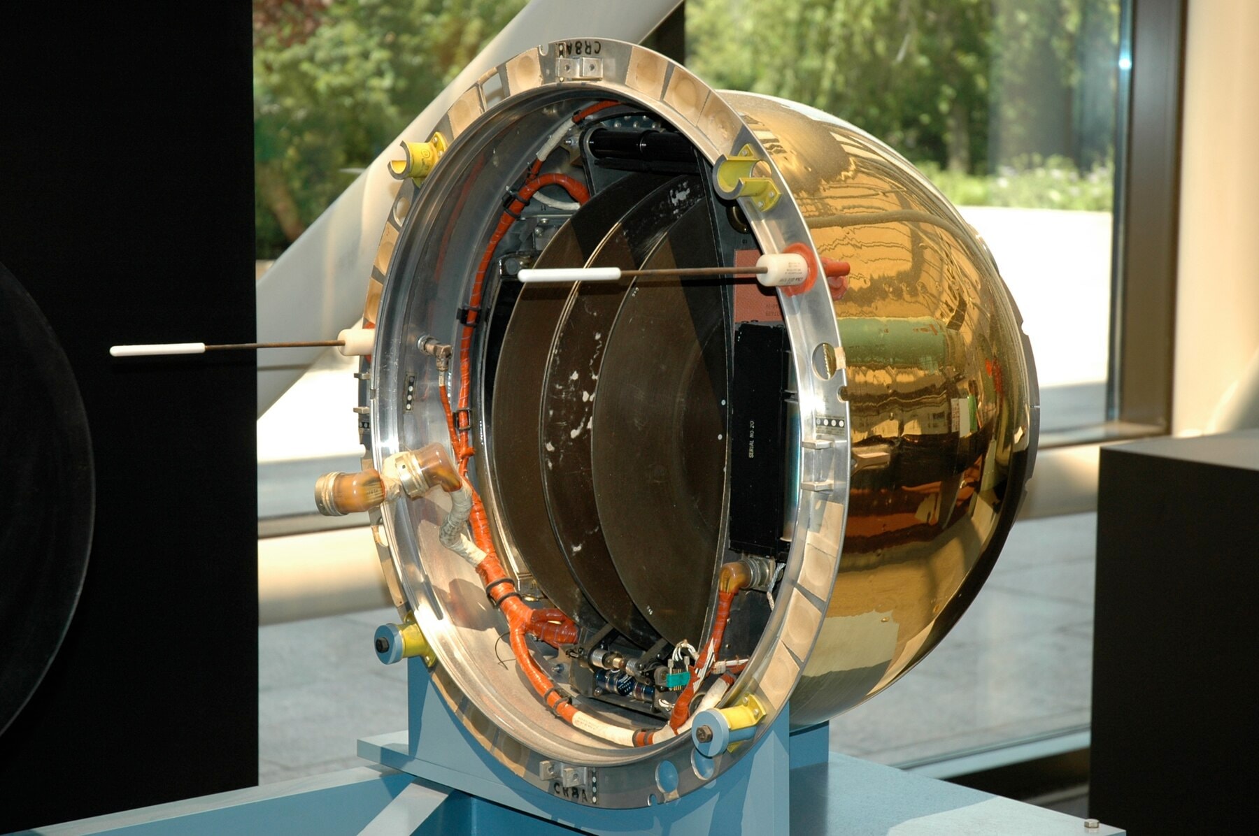
CORONA's hardest engineering problem had nothing to do with radio. The satellite carried physical film, and that film had to come home. A reentry capsule separated from the spacecraft, fell back through the atmosphere, and popped a parachute over the Pacific. Air Force crews flying out of Hickam tried to snag it in midair; if they missed, ships out of Pearl Harbor were the backup for a capsule that hit the water. Kaʻena Point never touched that film and never saw the photographs it helped bring home. Its job ended at tracking and relay. But the station was one link in a chain that ran from a camera in orbit to a darkroom on the ground, and every link had to hold.
The chain didn't hold on the first eleven tries. Failures touched nearly every part of the system: launch, orbit, the camera, film transport, the command links, reentry timing, tracking, recovery. Success, when it finally arrived, came in two pieces eight days apart, both in the ocean around Oʻahu. In the predawn hours of August 11, 1960, a ground station on Kodiak Island sent the reentry command for Discoverer 13, a test flight carrying no camera, only extra telemetry and an American flag. Its capsule splashed down about 380 miles northwest of Honolulu, and the naval ship Haiti Victory fished it out of the Pacific and delivered it to Pearl Harbor. Four days later, the flag was in President Eisenhower's hands. It was the first man-made object ever recovered from orbit. On August 19, Discoverer 14 delivered the actual prize: the first roll of orbital reconnaissance film, its parachute snagged in midair by a modified aircraft about 360 miles southwest of Honolulu, at about 8,000 feet (one account gives 8,500). Neither recovery depended on anything Kaʻena Point did that week. But American reconnaissance spaceflight succeeded, twice, in the waters around the same island where the station sat tracking other passes, and the program kept flying until 1972.
The flag aboard Discoverer 13 measured 35.5 by 24 inches, according to Air & Space Forces Magazine, and when Gen. Thomas White presented it to President Eisenhower at the White House on August 15, 1960, he observed that it had been released from orbit near the 49th state and recovered near the 50th, Hawaiʻi. Collectspace adds that flags had flown on several earlier capsules that were launched and lost. The surviving flag is held in the archives of the Eisenhower Presidential Library in Abilene, Kansas.
The aircraft that made the Discoverer 14 catch flew under the call sign Pelican 9, and HistoryNet reports that it left Hickam Air Force Base at 9:00 a.m. on August 19, 1960, bound for a patrol area roughly 300 miles to the southwest. Captain Harold Mitchell, its pilot, had flown B-17s and served in the Berlin Airlift, and the same account says he felt vindicated after the failed attempt on Discoverer 13. The chief operator’s call, as the article records it, was “Good hit, Captain, we’ve got her in tow,” and eleven people were aboard, among them loadmasters, a winch operator, a navigator and a flight engineer.
The recovery brought formal recognition. A daily history entry on afhistory.org states that the 6593d Test Squadron (Special) received the Mackay Trophy, and This Day in Aviation adds that Mitchell was awarded the Distinguished Flying Cross while the rest of the crew received Air Medals. The airframe, a C-119J with serial number 51-8037, had been modified between September 1958 and November 1959 specifically to recover space capsules. It now sits in the collection of the National Museum of the United States Air Force at Wright-Patterson Air Force Base in Ohio.
Some of the recovery gear survives in Smithsonian collections. A brass, plastic-tape and hemp-rope hook about 26 inches long is credited to the Air Force’s 6594th Test Group, and the museum’s description says eight such hooks were attached to a trapeze-like mechanism lowered from the rear cargo door. They were meant to snag the parachute shroud lines, and the Smithsonian places the recoveries in daylight, between 500 and 10,000 feet, over the Pacific near the Hawaiian Islands. Capsules also carried a fallback. An Army history article says a floating design and salt plugs that dissolved after two days would sink any capsule that nobody retrieved.
By 1966, the station's official history counts 3,997 satellite contacts handled that year alone, run by 49 active-duty personnel and 182 contractors. Undersea cables carried orders and data between Kaʻena Point and the operations center in Sunnyvale, California, a reminder that a "remote" station was never actually isolated. It was wired into a much larger machine. By 2013, the workload had grown roughly fivefold: 22,255 satellite contacts that year, about 60 a day, on antennas that by then were tracking or commanding well over 150 Defense Department, allied, and civil satellites rather than one classified program.
The People Who Built and Ran the Station
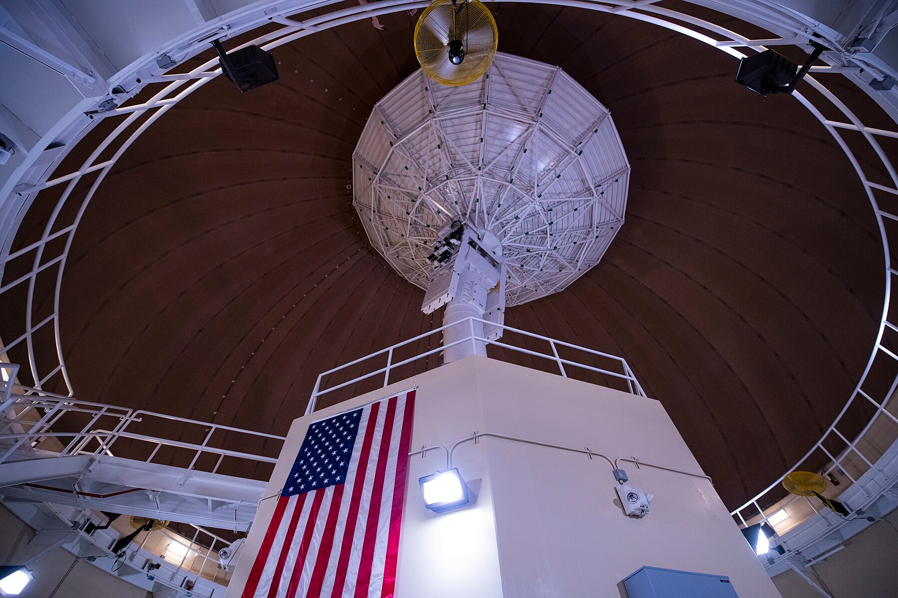
Someone had to build that machine, too. Historic American Engineering Record documentation credits the Ralph M. Parsons Company among the architecture and engineering firms behind the station's buildings. That detail punctures the fiction that the station arrived as a finished federal object without designers, draftspeople, construction crews, electricians, communications technicians and maintenance workers. The National Park Service survey, completed in 2012, gets specific building by building. Building 39005, the antenna pedestal and radome that still houses one of the station's two working dishes, was designed by architect Clarence Fong and erected in 1968; the radome itself, a 105-foot-wide geodesic sphere bolted to a 76-foot ringwall, came from a separate contractor, Geometrics Inc., in 1978. It survived Hurricane Iwa in 1982 only after repairs in 1984, then took more damage from Hurricane Iniki a decade later, in 1992. None of that is classified. It is the kind of record kept on buildings rather than secrets: contractor names, drawing numbers, storm dates. The two historians who assembled it, Kathryn Ladoulis Urban and Stanley Solamillo, did part of their research inside the NRO's own declassified-files section, a fitting irony for a program whose secrecy eventually dissolved into a paper trail thorough enough to document storm damage on an antenna cover.
The declassification itself was a single, orchestrated moment rather than a slow leak. On February 24, 1995, Vice President Al Gore announced Executive Order 12951, and more than 800,000 CORONA, ARGON, and LANYARD images moved to the National Archives and the U.S. Geological Survey's EROS Data Center within eighteen months, in what is still counted as one of the largest declassification projects in American history. But the secrecy did its work first: land was leased, budgets were hidden, and a new kind of orbital surveillance was normalized years before anyone outside the program could say the word CORONA out loud.
From Hula to the Space Force
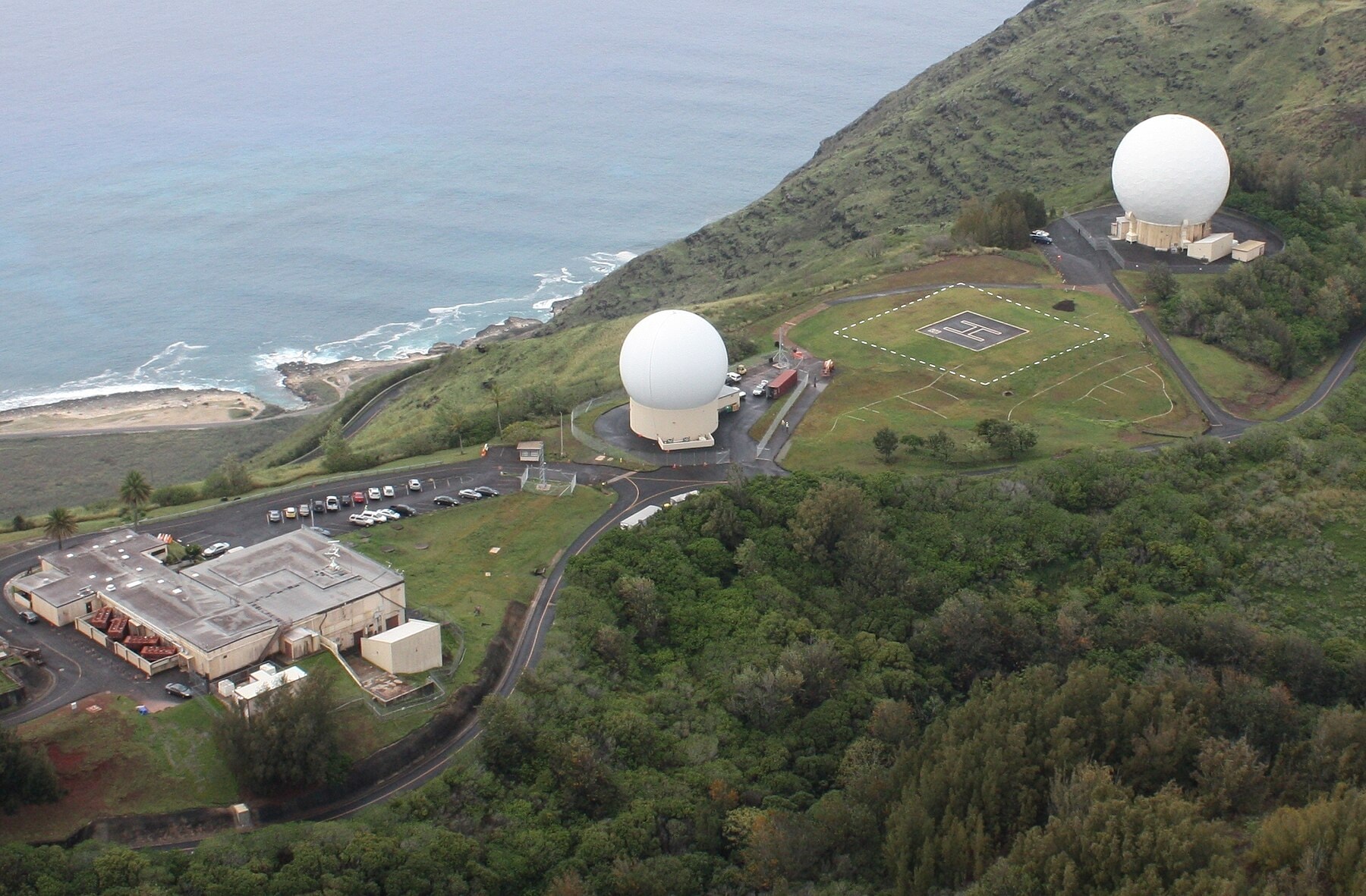
The mission at Kaʻena Point outlived the program that built it. The station became part of the Air Force Satellite Control Network, and in 1990 its 60-foot B-side antenna was modified into the first Automated Remote Tracking Station-II operation in that network. For decades before that, the station answered to a different unit: the 22nd Space Operations Squadron's Detachment 4, the name still stamped on the station's own 1983 emblem, designed by Earl Kokobun. On November 1, 2010, a reorganization of the network's parent group reassigned Kaʻena Point, along with the tracking stations at Vandenberg, Guam, and Diego Garcia, to the 21st Space Operations Squadron, the unit that still runs day-to-day operations there. In 2021 the station was renamed Kaʻena Point Space Force Station, reflecting the branch that now runs it. The Space Force still calls the two dishes by callsign roots that reach back decades: Hula Alpha and Hula Bravo. Hula Bravo is the direct descendant of that 1968 antenna, a 60-foot dish rebuilt around the same pedestal so many times that engineers now describe it as a hybrid, older steel wearing newer electronics. Hula Alpha is the newer half of the pair, a Remote Tracking Station Block Change antenna installed between roughly 2004 and 2012 and formally accepted for operations in January 2014, alongside matching upgrades at New Boston, New Hampshire; RAF Oakhanger, England; and Guam. Where the antennas it replaced needed a person watching every satellite pass, the Block Change antenna was built to run a contact and shut itself back down without anyone touching a keyboard, according to Brian Bayless, the Air Force engineer who led the integration work. Two different squadrons keep the arrangement running: the 21st Space Operations Squadron operates Kaʻena Point day to day, one of four detachments (with Guam, Diego Garcia, and the squadron's home station at Vandenberg) that together track for more than 150 satellites, while the 22nd Space Operations Squadron, based at Schriever in Colorado, engineers and maintains the antennas themselves across the whole network.
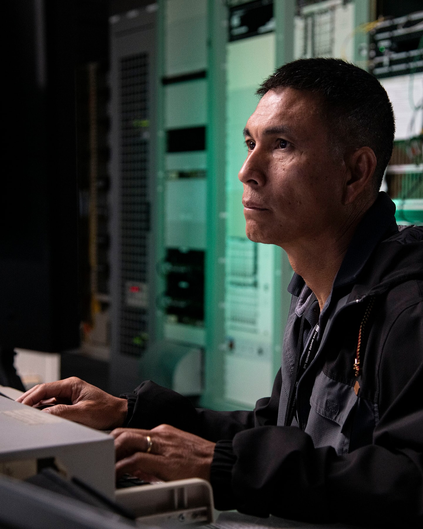
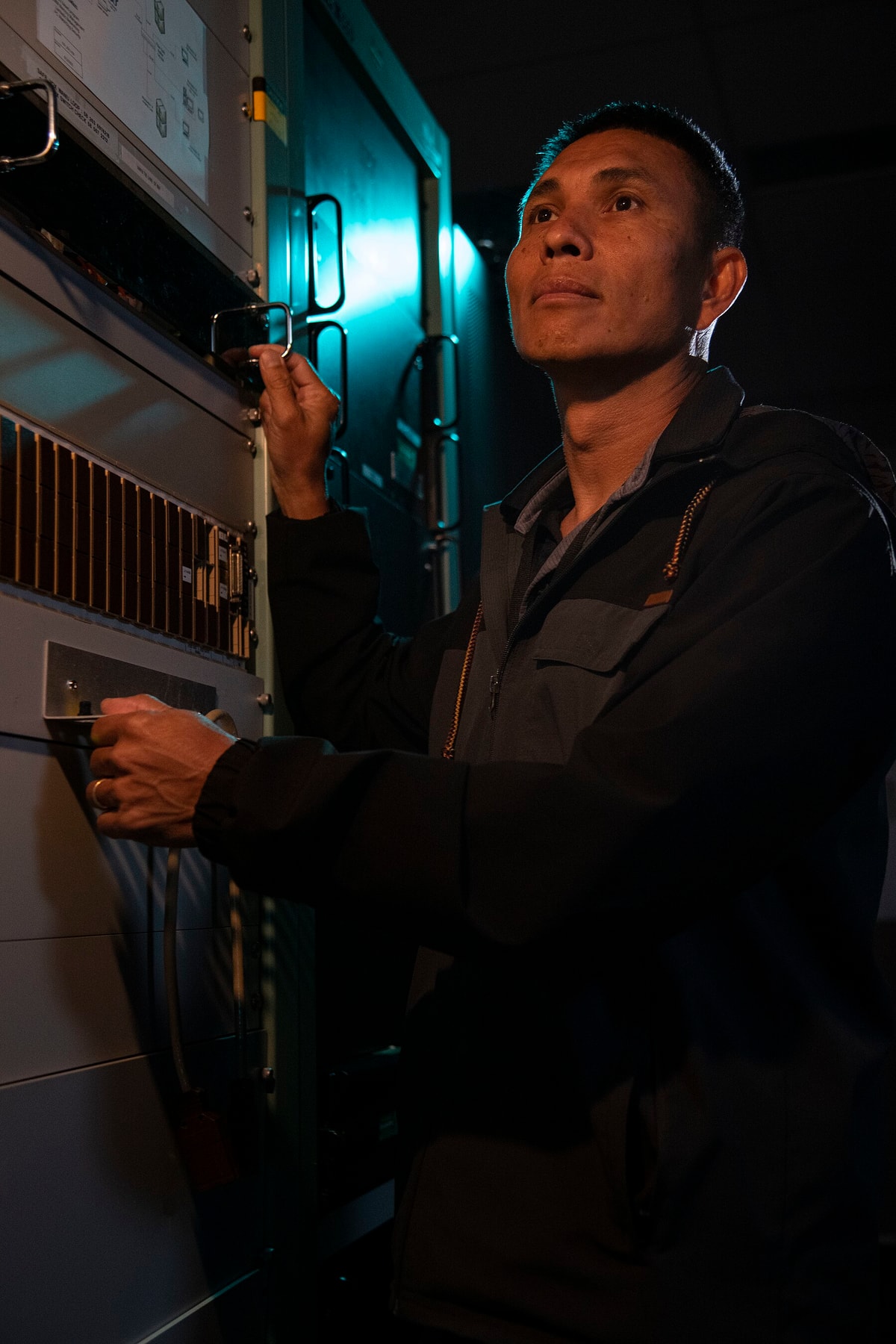
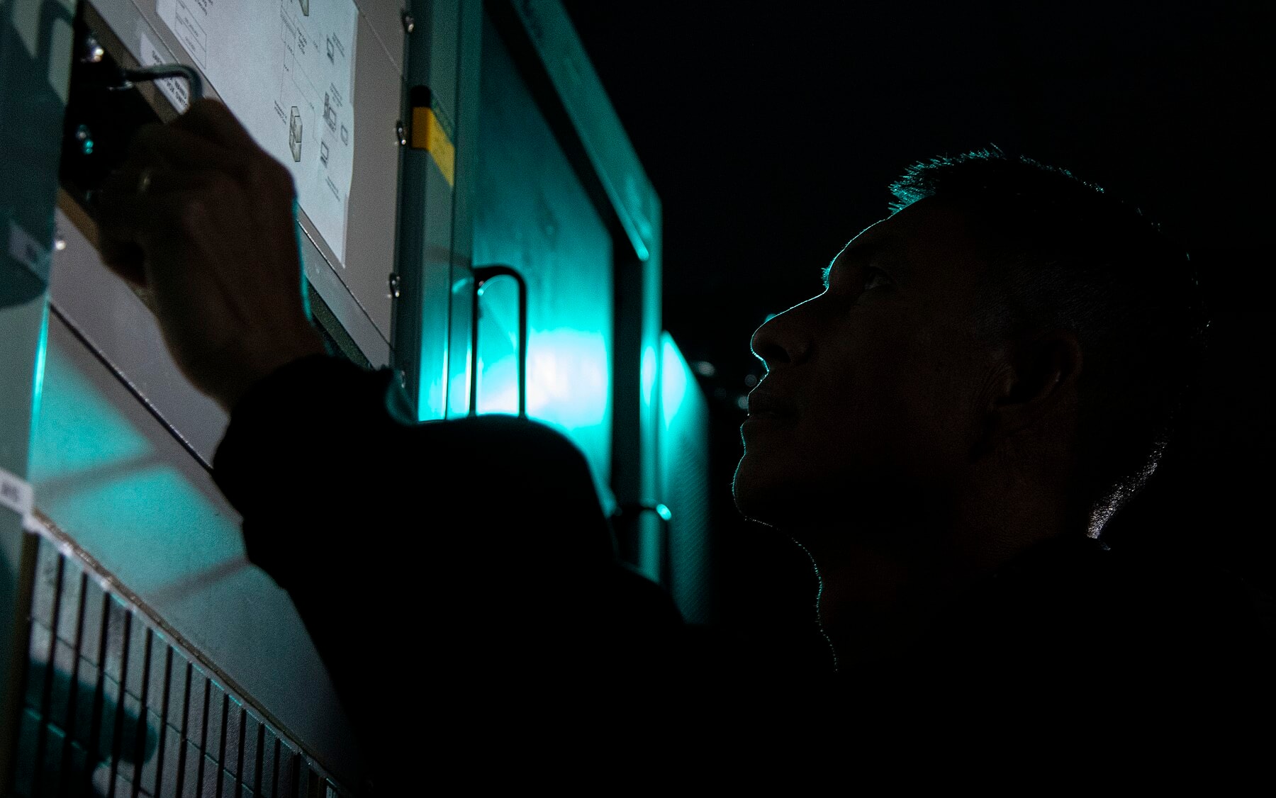
Official 2022 material describes a dual-sided station: a 46-foot A-side antenna and the 60-foot B-side dish, staffed by maintainers and a system operator named in the Space Force’s own public captions. Other names surface across the decades in the station's own public record. When the station marked fifty-five years of operations in February 2014, its longtime administrator, Charlene Kaawaloa, called it "a beautiful place to work" with "a long standing history" of service; that year's detachment noncommissioned officer in charge, Tech. Sgt. Kyle Fenimore, chief of operations Richard Harris, and Marlon Martell, a maintenance and operations technician with twenty-five years at the site, rounded out a workforce the Air Force chose to name rather than leave anonymous. By September 2022 the roster included maintainer Todd Auvil, photographed at an operations-floor console. By July 2021, the detachment's commander was Maj. Brandon Hammond, who put the job in blunt terms for a Space Force feature: "Without us, space doesn't happen. Without the operators identifying issues and fixing them, nobody would get to talk to the satellites." Someone still watches the panels, tracks down the faults, and calls the master control station when something needs attention, automation or not.
None of this kept the hardware young. By the early 2020s, both antennas were showing their age: Hula Bravo's Automated Remote Tracking Station lineage was considered obsolete equipment running on borrowed time, and even the newer Hula Alpha was approaching the end of its own service life, prone to high-power amplifier failures that required manual resets or part swaps. Congress's fiscal year 2023 budget set aside roughly $51 million for a Modular Transitional Remote Tracking Station meant to bridge the gap, with the Space Force's longer-term plan calling for phased-array antennas, electronically steered rather than mechanically aimed, that could track more than one satellite at a time. It is a familiar pattern for a site that has already outlasted several generations of the technology it was built to run. The people contracted to keep that aging hardware running have changed more than once. In June 2016 the Air Force awarded L-3 National Security Solutions $43.9 million to operate and maintain Air Force Satellite Control Network sites, Hawaii among them, through the end of 2023. In June 2024 the Space Force replaced that arrangement with a larger one: a ten-year, $480 million contract with Five Rivers Analytics, an Akima subsidiary, to provide remote-site and mission-partner support across the whole network the station belongs to.
One more mission has been layered on since. Beginning in August 2011, a Global Positioning System monitor station co-located at Kaʻena Point has tracked GPS navigation signals and reported them to the network's master control station. It is a separate job from CORONA's, added decades later, and proof that a site can pick up new work without any of it being caused by what came before. The same August 2011 realignment made Detachment 3 responsible for GPS ground equipment even further afield, at Kwajalein Atoll in the Marshall Islands and at Diego Garcia in the Indian Ocean, turning a single Pacific hilltop into a maintenance hub for a slice of the satellite constellation that has nothing to do with Cold War film capsules.
Out on the ridge, the footprint is modest. A Space Force photo caption dated September 2022 places Kaʻena Point Space Force Station about 40 miles from Honolulu and Hickam, on 153 acres leased from the State of Hawaiʻi. Air & Space Forces Magazine reports that Detachment 3 of the 21st Space Operations Squadron operates two antennas there for 192 clients, a list that includes the Department of Defense, the National Reconnaissance Office, other government agencies and allies. The station’s reach fills the Pacific between the network’s sites at Diego Garcia, Guam and Vandenberg.
The Land Beyond the Fence Line
The land beyond the station's fence line has its own history that has nothing to do with satellites, either. In Hawaiian tradition, Kaʻena Point is leina a ka ʻuhane, a leaping-off place where the spirits of the dead were believed to depart this world, and, by some accounts, a route walked by the Nightmarchers, the ghostly procession of ancient warriors. A sugar-cane railway once wrapped around the point itself, part of the Oʻahu Railway and Land Company's line from Honolulu to Kahuku, until a tsunami tore out most of the track in 1946. In 1983, the State of Hawaiʻi set aside the point beyond the station as the Kaʻena Point Natural Area Reserve, closed the old rail and ranch roads to vehicles, and let the dunes recover. Laysan albatross now nest there most winters; Hawaiian monk seals haul out on the same sand. Hikers, hunters, and campers can still reach the reserve's inland trails and the Peacock Flats camping area through a state permit system administered by the Department of Land and Natural Resources, a rare case of a Space Force installation sharing its access with the general public rather than closing around itself entirely.
Beyond the station fence, the state keeps its own record. The Department of Land and Natural Resources says Kaʻena Point Natural Area Reserve was established in 1983, describes dunes built when waves churned broken reef into sand, and lists ʻaʻaliʻi, naio and naupaka kahakai among the native plants. Dogs are prohibited. A June 25, 2023 state release recalls that no seabirds nested there at designation and that off-road vehicles were destroying vegetation. It reports 98 albatrosses with nests that season, the second-highest total ever, and an estimated 30,000 nesting seabirds, with a predator exclusion fence in place for 12 years. An ACAP news item records wedge-tailed shearwaters rising from a previous high of 1,556 birds in 2007 to 3,274 in 2012, after the fence went up in 2011.
Kaʻena Point the Cold War tracking station and Kaʻena Point the natural and cultural landscape around it share a name and a ridge, not an identity. What's true is narrower and stranger: for more than sixty years, two white spheres on a remote point of Oʻahu have been part of how the United States watches, and talks to, what it has in orbit.
Sources for material added October 3, 2026 (each checked on that date): HistoryNet, historynet.com/spy-intelligence-from-the-sky/. Air Force Historical Foundation, afhistory.org/august-19-1960/. This Day in Aviation, thisdayinaviation.com/tag/51-8037/. Smithsonian National Air and Space Museum, airandspace.si.edu/collection-objects/hook-corona/nasm_A20010317000. U.S. Army, army.mil/article/173155/project_corona_americas_first_photo_reconnaissance_satellite. Air and Space Forces Magazine, airandspaceforces.com/article/0995corona/ and airandspaceforces.com/hawaiian-space-force-antennas-collect-vital-data-with-antiquated-equipment/. CollectSPACE, collectspace.com/news/news-082020a-first-american-flag-flown-space.html. CIA Museum, cia.gov/legacy/museum/artifact/corona-film/. Hawaiʻi Department of Land and Natural Resources, dlnr.hawaii.gov/ecosystems/?p=650, and Governor’s office release of June 2023, governor.hawaii.gov/?p=1958. Agreement on the Conservation of Albatrosses and Petrels, acap.aq/news/news-archive/2012-news-archive/. Wikipedia, en.wikipedia.org/wiki/Ka%27ena_Point_Space_Force_Station (secondary). Accounts differ on the Discoverer 13 recovery date and distances, and on the snag altitude of the Discoverer 14 capsule.


.jpeg)
.jpeg)
.jpeg)

.jpeg)
.jpeg)
.jpeg)
.jpeg)
