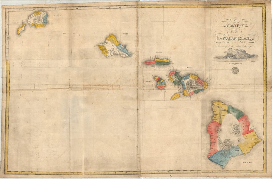
The story
Before land can be bought, sold, or mortgaged as a parcel, it has to be made legible as one.
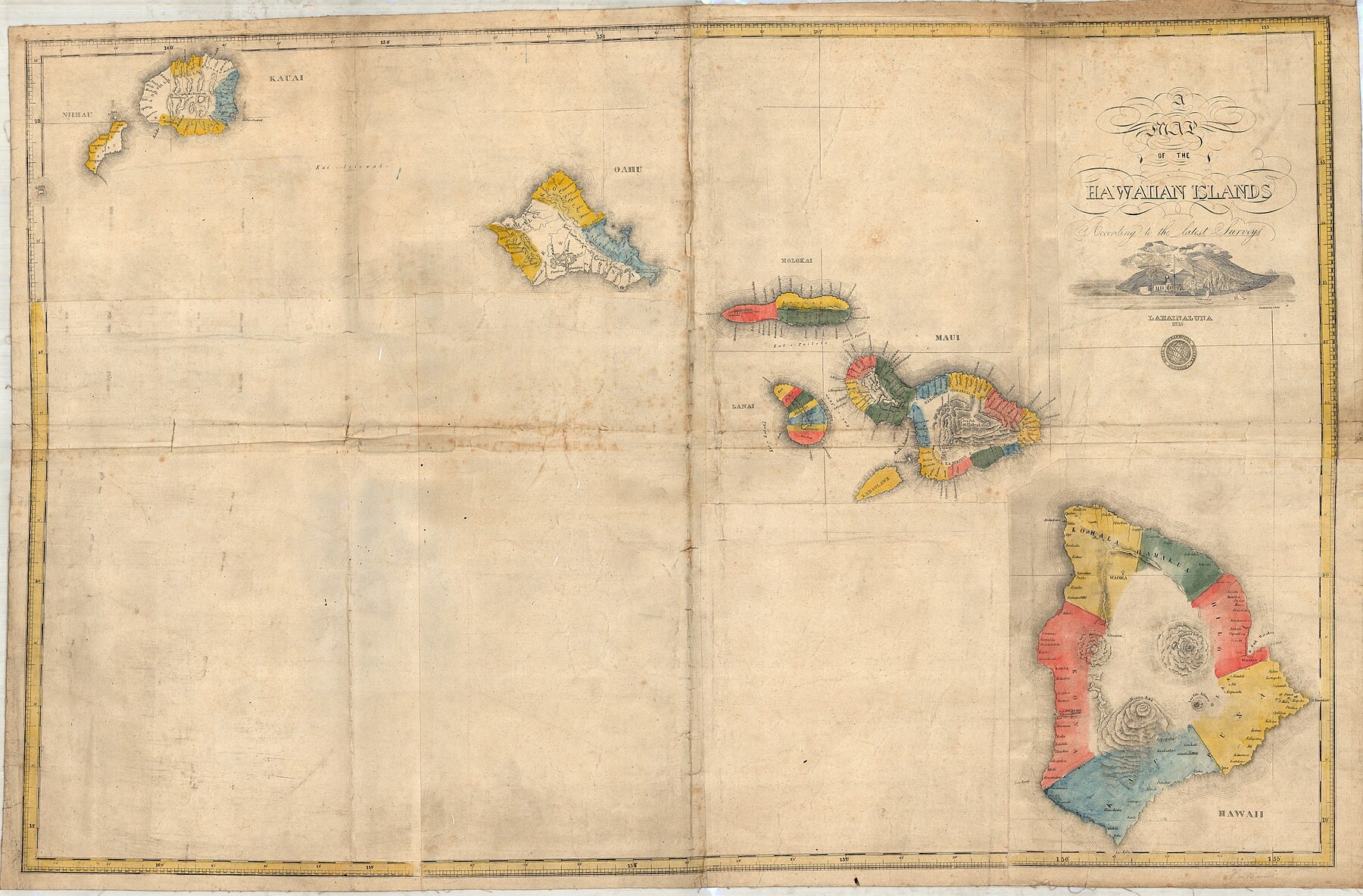
A boundary has to be described in words, walked on the ground, measured, calculated, drawn, tied to a name or a number, accepted by an institution, and kept in a record some later institution will still recognize.
The map did not create ʻāina.
A claimant did not hand the commission a piece of land itself.
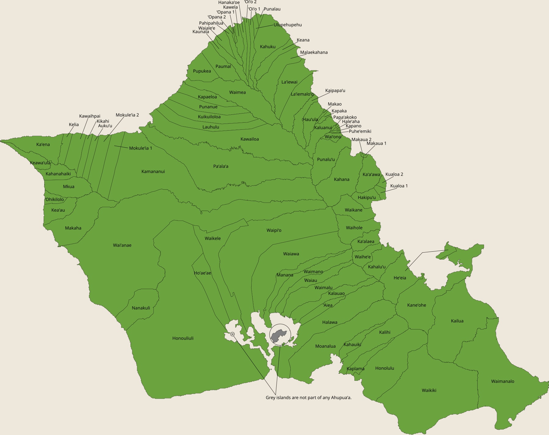
From Board to Māhele: How the Process Began
That institution existed before it had a process. Kamehameha III's Board of Commissioners to Quiet Land Titles was created on December 10, 1845, five years before the law most people associate with land claims by common Hawaiians. Its first task, in August 1846, was to decide who even had a claim worth hearing: the board settled on three classes of vested right (government, landlord, and tenant) and set out to sort every acre in the Kingdom into one of them. The Privy Council did not pass the rules establishing the actual division of land, the 1848 Māhele itself, until December 18, 1847, and the commission attached a hard deadline to it: anyone who had not filed a claim by February 14, 1848 forfeited any interest in the land to the government outright. There was no appeals process built for someone who missed a date few tenants had reason to know mattered yet.
What a claimant produced instead was paper: a written claim, Native and Foreign Testimony, an award number, a survey, a metes-and-bounds description, and eventually a patent.
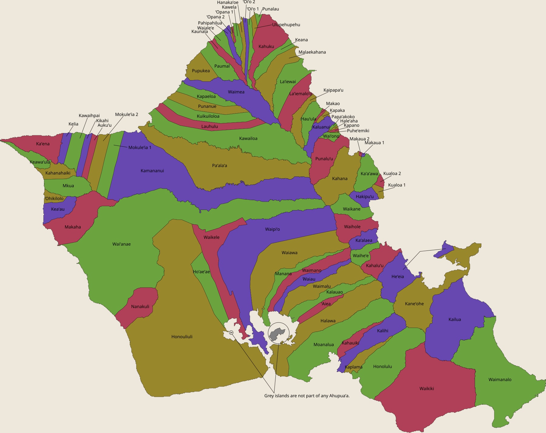
A boundary that had only ever lived in a stream, a stone wall, a planting terrace, a ridge line, a neighbor's holding, or the memory of the people who worked the land could now be rewritten as a sequence of courses and distances, something that could be copied, mapped, indexed, compared, and carried into a dispute decades later.
Surveying by Compass, Chain, and Judgment Call
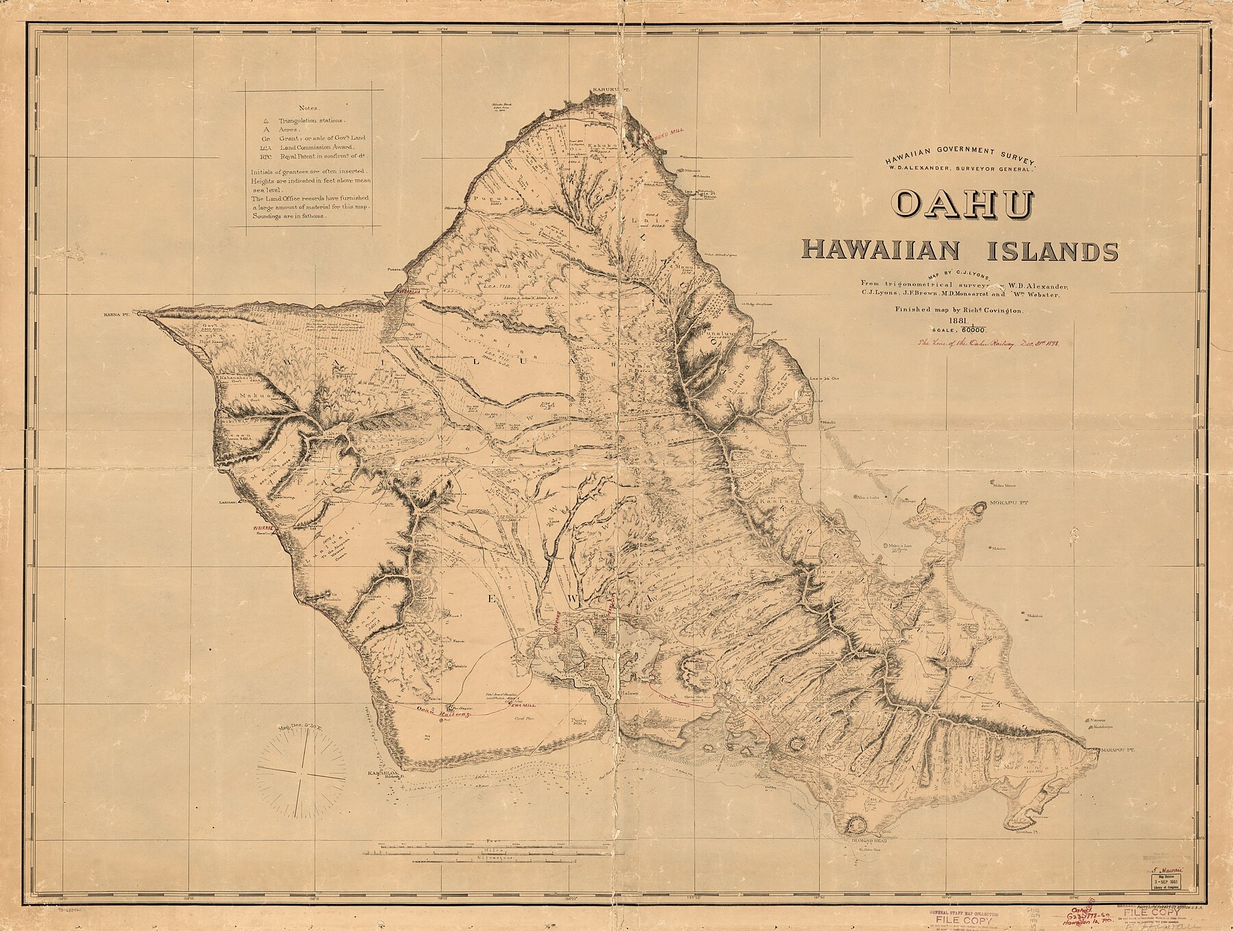
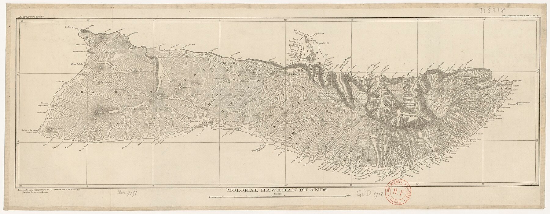
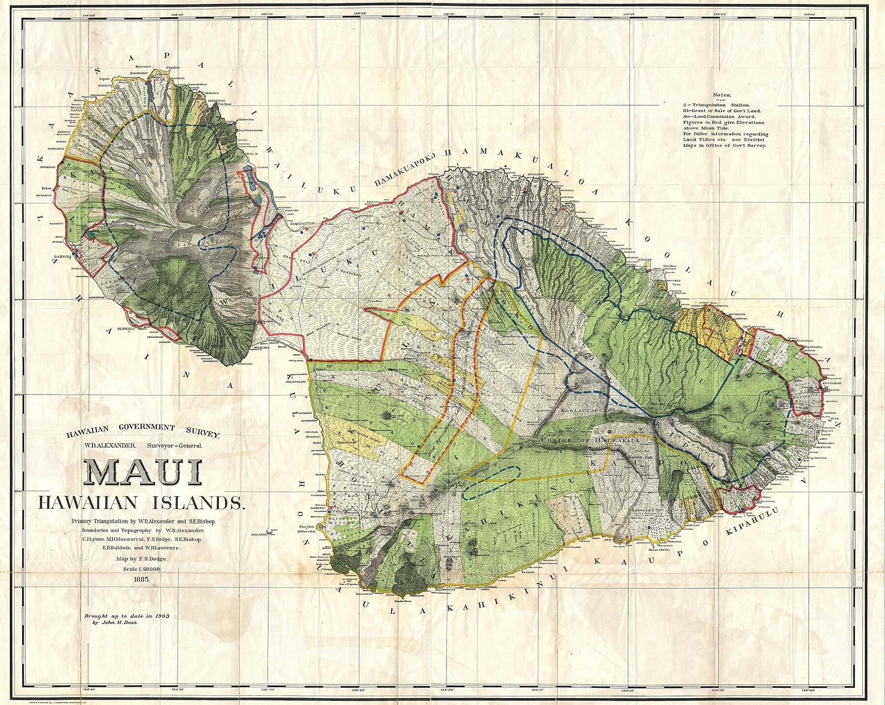
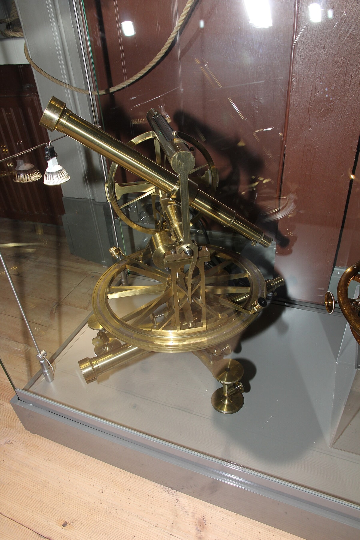
The people doing that rewriting were, by their own later account, making it up as they went. The original surveys were run by compass and chain, and the compasses were not reliable: some had drifted out of adjustment, and the magnetic declination itself shifted from one ahupuaʻa to the next because of iron in the local lava. A surveyor met the claimant on the ground, along with witnesses and someone representing the konohiki, and only after they agreed on a boundary did the actual measuring start, producing what the record calls an "Original Notes of Survey", a written description paired with a rough sketch. Curtis J. Lyons, who had done this work himself, told the U.S. government in 1893 that success depended almost entirely on that one surveyor's judgment, since the commissioners could never inspect a claim in person. A wet taro patch was straightforward to bound, Lyons said; a dry upland field left fallow for years was not, and two surveyors looking at comparable claims might return anywhere from two or three acres to fifteen or forty. Surveyors were paid two to three dollars a claim, which did not buy much consistency. Among the foreigners doing this work in the early 1850s was Rudolph Wilhelm Meyer, a Hamburg-trained civil engineer who had specialized in hydraulics and survey work before landing at Lahaina in January 1850 and listing his occupation, simply, as surveyor; by 1866 he held the formal post of government surveyor for Molokaʻi alongside his duties as Commissioner of Fences and Road Supervisor. Chiefs' lands, unlike tenants', were not required to be surveyed at all until an 1862 law forced their boundaries to be checked against tradition by a separate Commission on Boundaries. Only with the Hawaiian Government Survey, begun in 1870 under the Minister of the Interior, did the islands get a triangulation network, built with instruments borrowed from the U.S. Coast and Geodetic Survey and carried out by Surveyor General W.D. Alexander with C.J. Lyons, J.F. Brown, M.D. Monsarrat, and Wm. Webster, whose trigonometric surveys underlie the government maps still cited today.
The survey office continued its work until 1901, when it became the Hawaiian Territorial Survey under Walter E. Wall. A 1901 map in the University of Hawaiʻi eVols collection credits primary triangulation to Alexander, Lyons, J.S. Emerson, Lydgate, and E.D. Baldwin, and its legend separates public lands, homestead tracts, forest reserves, and wet lands in rice and taro.
That gain came at a cost the paperwork does not show. Relationships, seasonal use, shared access, obligations, and meaning that do not reduce to a parcel description tend to disappear from the record, even where they stayed essential to the people who lived by them. A responsible account holds both halves at once: Kanaka Maoli exercised real agency inside this system (filing claims, giving testimony, contesting boundaries) and the system itself ran on coercive conditions they did not choose.
Hawaiʻi still has commissioners of boundaries. Chapter 664 of the Hawaiʻi Revised Statutes, which traces to the Laws of 1894-5, chapter 14, assigns the role to circuit judges, with the judge of the land court serving the first circuit. An owner of an ahupuaʻa, ʻili, or similar land whose boundaries were never fixed by an award, patent, or deed may apply for a certificate. The application has to include a true-bearing survey connected to government triangulation, along with a map and field note data for reestablishing lost or destroyed boundary points. That requirement can be read as a modern answer to the problem the Māhele left behind, since a line described only by a stream or a wall could be rebuilt only from memory.
The procedure in section 664-7 shows how formal the process remains. The commissioner notifies the adjoining owners and the attorney general and advertises once in each of three successive weeks. At the hearing the commissioner takes testimony and may visit the land. The boundary is then described “by survey by natural topographical features, or by permanent boundary marks, or partly by each.” The statute bars the commissioner from altering any boundary already set by a patent, a deed, or a land commission award. An aggrieved party has thirty days to appeal to the intermediate appellate court, and a certified copy of each certificate goes to the Department of Land and Natural Resources within thirty days of issue.
The testimony behind such certificates survives in volume. Commission records for Hilo, Hāmākua, and Kohala on Hawaiʻi Island include testimonies collected from 1865 to 1891. On Lānaʻi, the surviving records run from 1876 to 1891, and the witnesses were elder kamaʻāina who had received kuleana in the Māhele, held royal patent grants, or descended from original fee-simple holders. Most spoke in Hawaiian, and only some testimony was translated and transcribed. Files can also hold letters from surveyors in the field and excerpts from their field books, which places the oral record and the measured record side by side.
The Kuleana Act's Narrower Promise
The law that let commoners claim land at all (the Kuleana Act, signed by Kamehameha III on August 6, 1850) drew a line the Māhele itself had not drawn. Chiefs and konohiki received their ahupuaʻa and ʻili by name, no survey required in the early years, no acreage cap attached. Native tenants got something narrower and more conditional: fee-simple title only to what they actually occupied and improved, on government, chiefly, or konohiki land; house lots capped at a quarter acre; and cultivated ground limited to what a tenant had actually farmed in one place, not scattered plots cultivated here and there to inflate a claim, with no right to unused land at all. Section 7 preserved a tenant's right to take firewood, house timber, cordage, thatch, and ti leaf from the land where they lived, along with drinking water, running water, and rights of way, but only, as first written, with the landlord's prior knowledge and consent. Within a year the legislature had to strip that clause out, after konohiki across the islands used it to keep tenants from the very things the law was supposed to guarantee them.
Even a generous law reached few people at that scale. Images of Old Hawʔi, summarizing research by Maly, counts 29,221 adult men in the Kingdom eligible to file a claim in 1850. Historian Davianna McGregor counts only 8,205 who ever received a kuleana award, and the same summary of Maly puts the awards at a combined 28,600 acres, under one percent of the Kingdom’s land. The King kept roughly a million acres as Crown Lands, the chiefs and konohiki about a million and a half, the government another million and a half; native tenants, collectively, ended up with a rounding error. Scholars attribute the gap to several causes at once: private landownership had no precedent in Hawaiian tradition, so tenants in remote areas often did not grasp what a filing window meant until it had closed; the requirement to pay for a survey discouraged people with little cash on hand; and some who did occupy and cultivate land feared asserting a personal claim against the aliʻi or konohiki they answered to.
The 28,600-acre figure covers awards to claimants on land they already worked. The Kuleana Act also opened a second path. Section 4 set aside Government land on each island for sale in lots of one to fifty acres in fee simple to natives without enough land, at a minimum price of fifty cents per acre. One account calls it the first homestead effort of the Hawaiian government. The Native Hawaiian Legal Corporation reports that Maui County recognizes 167,290 acres of such purchases as “Kuleana Act government grant land” for tax exemption purposes. Awards had limits of their own: house lots could not exceed one quarter of an acre, and grantees were entitled only to land they had cultivated. Māhele awards required commutation of one-third of the unimproved value, in land or cash, while kuleana lands were granted free of commutation.
What Happened to the Land Afterward
What happened to the kuleana that were awarded is its own history of loss. In Dowsett v. Maukeala, decided by the Hawaii Supreme Court in 1895, native tenants who had stayed on their old holdings after the Māhele argued that decades of continued occupancy amounted to adverse possession; the court ruled that a tenancy permissive under the old system does not become adverse just because title to the surrounding land changed hands, and that the claim, in any case, had been filed too late. A century later, in Pai ʻOhana v. United States, a federal court in Honolulu heard from Native Hawaiians who had lived for generations on five acres now inside a national historical park, whose ancestors had never filed a kuleana claim at all; the court held that the 1850 Act had given those ancestors their one chance to claim the land, and that a missed chance could not be revived by occupancy alone. The court conceded the irony in its own ruling: the Native Hawaiians most exposed by a strict reading of the law were exactly the ones whose ancestors' unrecorded tenancies would, by their very nature, be nearly impossible to verify a century on. A 1997 University of Hawaiʻi thesis on the ahupuaʻa of Lāʻie Wai and Lāʻie Maloʻo traced one such history parcel by parcel: through mortgage foreclosures between 1874 and 1930 and a long sequence of deed exchanges, land the Land Commission had divided among dozens of individual Kanaka Maoli tenants was consolidated, ʻāpana by ʻāpana, until the Church of Jesus Christ of Latter-day Saints and its Zions Securities Corporation held an interest in 126 separate ʻāpana by the time the Lāʻie sugar plantation closed in 1930. An 1870 law made that drift easier everywhere: it let anyone who occupied land openly and continuously for twenty years (later cut to ten, before being restored to twenty in 1978) take title by adverse possession, provided they paid the property tax on it. By the 1890 census, the reversal was nearly complete: Native Hawaiians held title to 257,457 acres statewide; non-Hawaiians held 1,052,492.
A 2007 decision, Omerod v. Heirs of Kaheananui (No. 27118, November 15, 2007), shows how long a certificate can last. Two sets of owners on Hawaiʻi Island each claimed rights to the same land. One side argued for a single ahupuaʻa, and the other pointed to an 1873 Boundary Commission determination that found two. As summarized by a legal blog, the Hawaiʻi Supreme Court held that the 1873 determination had preclusive effect on title and boundaries and could not be challenged 125 years later. The same summary reports the court’s reasoning that Boundary Commission judgments were the only way to conclusively establish the boundaries of land awarded by name only. The question was whether Land Commission Award 7715, Apana 14 covered only Hilea Iki and not Hilea Nui.
Alongside Māhele-era claims, the government also opened homestead tracts. A Homestead Act signed by King Kālakaua on August 29, 1884 offered two to twenty acres of kula land, with a two-acre limit on kalo land and a ten dollar application fee. The Land Act of 1895, passed as Act 26 on August 14, 1895 by the Provisional Government of the Republic of Hawaiʻi, defined three agreements: a homestead lease of 999 years on eight to forty-five acres, a right of purchase lease of 21 years on 100 to 1,200 acres, and a cash freehold with 25 percent down. Applicants had to be over eighteen and citizens by birth or naturalization, or hold letters of denization. Homestead leases could not be mortgaged or assigned. These facts come from secondary summaries of the acts and are worth checking against the session laws.
The Land Commission closed on March 31, 1855, according to one summary of Māhele records, but the paperwork kept growing. A survey formed part of each Land Commission Award, and printed indexes of awards appeared in 1855, 1861, 1881, 1929 in two volumes, and 2005, with the 1929 edition including claims that were not awarded. The State Land Survey Division today lists Certificates of Boundaries, Government Survey Field Books, Hawaii Territorial Survey plat maps, and Land Court file plans among its records. A researcher tracing one boundary may therefore move between award books, testimony, field notes, and certificates produced under different laws in different decades.
The Records Still in Use Today
The paperwork did not stop after the Māhele. Hawaiʻi's State Land Survey Division still maintains Government Survey Registered Maps, field books, calculations, Land Court and File Plan maps, boundary descriptions, triangulation data, and shoreline maps, records that back leases, easements, government land transactions, boundary work, quiet-title actions, schools, public projects, and shoreline certification today. That collection is itself mid-digitization. As of August 2025, the state was scanning roughly 90,000 of those survey maps, some dating to 1871, the year the Land Survey Division opened; division administrator Reid Siarot described the goal as letting someone search a tax map key or address and pull up the underlying survey record, including, for descendants, what he called their family's ancestral lands.
Descendants use the same Mahele records, Land Commission Awards, testimony, Royal Patents, maps, and indices to trace genealogy and ancestral land, and increasingly they can do it without a research trip. The Office of Hawaiian Affairs launched its Papakilo Database on April 4, 2011, under research systems administrator Kale Hannahs, with a name suggested by scholars Puakea Nogelmeier and Kauʻi Sai-Dudoit; it opened with thirteen collections and roughly 500,000 records and had grown, by its tenth anniversary, into more than seventy collections holding over 1.1 million records, the Māhele Record Collection among them. Waihona ʻĀina, a private company incorporated in the mid-1990s by Paige Barber, Hal Hammatt, Alexander Mawyer, and Muriel Seto, spent roughly a decade transcribing all 14,500 Māhele-era claim records onto the web, and now runs separate databases for Boundary Commission testimony from 1868 to 1915, Royal Patents from 1847 onward, and Land Grants from 1846 onward. At the Richardson School of Law, the Ka Huli Ao Center for Excellence in Native Hawaiian Law, established in 2005, worked with the Hawaiʻi State Archives to digitize roughly 300,000 images of Hawaiian Kingdom legal and historical documents into a public archive called Punawaiola.
None of that makes the archive complete or neutral, and none of it settles anything automatically. In December 2016, companies controlled by Mark Zuckerberg filed eight quiet-title lawsuits in Kauaʻi circuit court seeking to force the sale, at public auction, of roughly a dozen kuleana parcels, about eight acres in total, held by hundreds of descendants inside his larger Kauaʻi property. The suits traced title back through the same kind of Land Commission Awards this piece has been describing, arguing that fractional interests scattered among so many heirs should simply be bought out. Public backlash was immediate and sustained; Zuckerberg and his wife, Priscilla Chan, withdrew all eight suits within a month, saying afterward that they had moved ahead without understanding what quiet title meant to the families it would displace. That was not the end of it. One of the eight suits, filed jointly by Andrade and the Zuckerberg-controlled Northshore Kalo LLC, was a partition action targeting the same four Rapozo parcels; after the January 2017 withdrawal, Andrade kept pursuing it in his own name, and Kauaʻi's Garden Island newspaper reported in 2019 that family members believed Zuckerberg was still financing his side of the case. A circuit court ordered the parcels sold at public auction on March 22, 2019; Andrade was the winning bidder, at $2.145 million, against 308 named co-owners and roughly 200 more the court could not identify by name. Andrade died in 2022. In June 2024, Hawaiʻi's Intermediate Court of Appeals vacated the judgment that had given him sole ownership, ruling that the circuit court had wrongly shut out Wayne Rapozo, a cousin who had bought into the parcels in 2018, and sent the case back for further proceedings that remain unresolved. Digitization just makes it faster to search an archive built with the same gaps and the same assumptions it always had: a digital reconstruction that turns an estimate into a crisp line is misrepresenting how sure anyone actually is.
Title could be transferred, divided, mortgaged, foreclosed, inherited, litigated, and mapped again.
The lines on a cadastral map therefore deserve to be read twice.
First as measurements: carefully made descriptions that allowed a boundary to be found again. Second as a record of power, showing whose claim got written down this way and on what terms.
Sources for material added October 3, 2026 (each checked on that date): Hawaiʻi Revised Statutes chapter 664, data.capitol.hawaii.gov/hrscurrent/Vol13_Ch0601-0676/HRS0664/HRS_0664-0001.htm and sections 664-6, 664-7 and 664-8 at the same address. Omerod v. Heirs of Kaheananui, summarized at inversecondemnation.com/?p=11043 (a legal blog). Boundary Commission records, hilo.hawaii.edu/maunakea/library/ref/143 and lanaichc.org/?p=1857. Native Hawaiian Legal Corporation, nativehawaiianlegalcorp.org/?p=2513. Images of Old Hawaiʻi, imagesofoldhawaii.com/ua-koe-ke-kuleana-o-na-kanaka/, imagesofoldhawaii.com/homesteads/ and imagesofoldhawaii.com/land-act-of-1895/ (secondary summaries of the acts). University of Hawʻi at Mānoa library guide to Māhele records, guides.library.manoa.hawaii.edu/hawaiilandtenureresearch/mahelerecords. State of Hawaiʻi, Land Survey Division, ags.hawaii.gov/survey/available-survey-information/. University of Hawaiʻi eVols, 1901 map, evols.library.manoa.hawaii.edu/items/f45986fd-112e-4887-b791-31a979ef9243/full. Kumu Pono Associates, kumupono.com/?p=5693. Sources added October 12, 2026 (each checked on that date): Images of Old Hawʔi, imagesofoldhawaii.com/ua-koe-ke-kuleana-o-na-kanaka/, a secondary summary of research by Maly, for the 29,221 eligible men and the 28,600 acres. Davianna Pōmaikaʻi McGregor, Foundations of Kuleana, slides on the State of Hawʔi Commission on Water Resource Management site, files.hawaii.gov/dlnr/cwrm/submittal/2014/sb20140101.pdf, for the 8,205 awardees. Counts of awards differ by source: the Maly summary gives 9,337 awards finalized by the Board of Commissioners to Quiet Land Titles.


.svg)


